How to Survive and Journey through the Dangerous Radika Pass
Radika Pass is a high mountain pass at an elevation of 1.925m (6,315ft) above sea level located in the Gora region of Kosovo.
Where is Radika Pass?
The pass, also known as Strazimir Pass, is located in the southern part of the country, near the Albanian border.
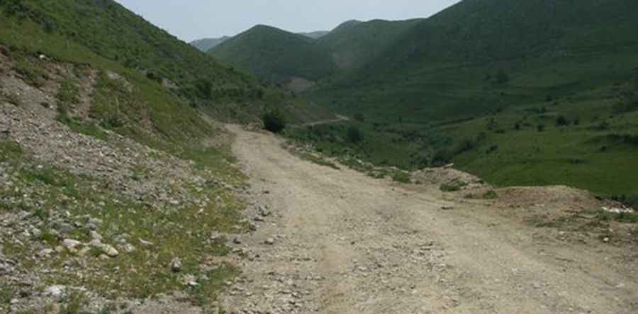
Is Radika Pass in Kosovo unpaved?
Set high in the Šar Mountains, a mountain range in the Balkans, the road to the summit is totally unpaved with loose stones and narrow parts. It’s called R113. A 4x4 vehicle is recommended.
How long is Radika Pass?
The road to the summit is 17.3 km (10.74 miles) long, running north-south from Restelicë to the Republic of North Macedonia border. The drive is pretty defiant, with steep parts, hitting a 10% of maximum gradient through some of the ramps and 12 sharp hairpin turns.
Pic: Tetrix Tetrix