A paved road to the top of Popova Sapka
Popova Šapka is a high mountain peak at an elevation of 1.780m (5,840ft) above sea level, located in the Republic of North Macedonia.
Where is Popova Šapka?
The mountain is located in the northern part of the country, near the border with Kosovo.
Why is it called Popova Šapka?
According to certain sources, a legend exists about how this area of Sar (Shar, Šar) Planina was named Popova Sapka (Popova Šapka). The legend says an orthodox priest exerting the evangelical mission, was killed like a martyr (and the body remained to be torn asunder by the wild animals), while visiting the orthodox-macedonian homes through the villages. At this district, where only the priest's hat (in Macedonian "kamilavka") was found - was named in his honor, Popova Sapka (English - Priest's Hat).
What’s at the summit of Popova Šapka?
The summit is home to a military base of the Macedonian Army and a meteorological station, as well as a ski resort and many hotels.
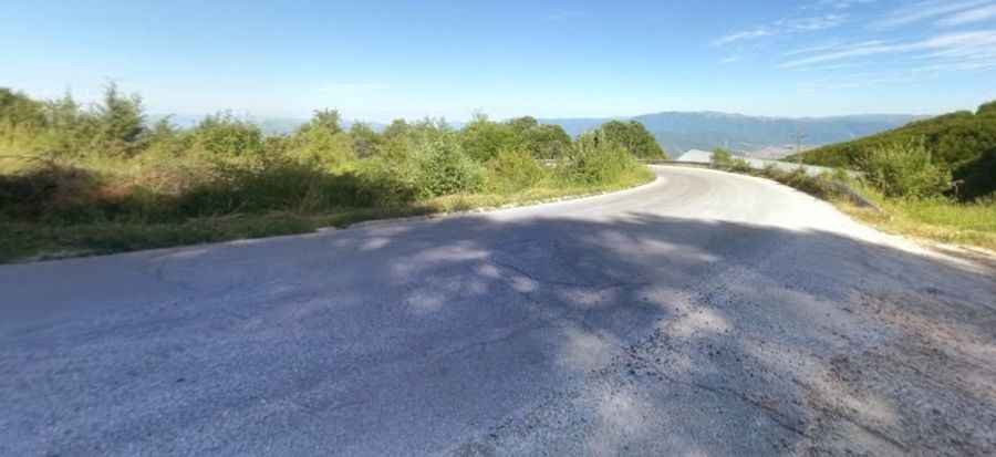
Is the road to Popova Šapka paved?
Set high in the Šar Mountains, a mountain range in the Balkans that extends from southern Kosovo and the northwest of the Republic of Macedonia to northeastern Albania, the road to the summit is fully paved. It’s called the R1209.
How long is the road to Popova Šapka?
Starting at Tetovo, a city in the northwestern part of the country, built on the foothills of Šar Mountain and divided by the Pena River, the road is 18km (11.18 miles) long. Over this distance, the elevation gain is 1.257m and the average gradient is 6.98%.
Pic: infoQender