How to drive the unpaved road to Cafa Belega?
Cafa Belega is an international high mountain pass at an elevation of 2,183m (7,162ft) above sea level, situated on the border between Montenegro (Plav) and Kosovo (Peć District). This high-altitude crossing in the Prokletije range (Accursed Mountains) is characterized by an infamous unpaved road that serves as a rugged logistical link between Katun Bocigevica and Stanet e Bjeshkeve. The 11.1 km track is technically demanding, featuring 23 sharp hairpin turns and a surface that requires specialized off-road mechanical preparation.
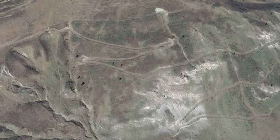
| Road facts: Cafa Belega | |
|---|---|
| Location | Montenegro-Kosovo Border (Prokletije) |
| Elevation | 2,183 m (7,162 ft) |
| Length | 11.1 km (6.9 miles) |
| Elevation Gain/Loss | +450 m / -330 m |
| Technical Features | 23 hairpin turns / Bumped surface |
What are the surface conditions and 4x4 requirements for Cafa Belega?
The 11.1 km road to Cafa Belega is notorious for its "bumped" and uneven gravel surface. Logistically, this puts continuous stress on the vehicle's suspension bushings and shock absorbers. A 4WD vehicle with high ground clearance is a mandatory technical requirement to avoid underbody damage from rocky protrusions. The track features 23 hairpin turns where the surface is often loose, requiring precise throttle control to maintain traction. Drivers should ensure that tires have reinforced sidewalls, as the sharp limestone typical of the Prokletije mountains can easily cause punctures during the +450m ascent from Katun Bocigevica.
How does the 2,183m altitude and climate affect Cafa Belega?
Reaching an elevation of 2,183 meters, Cafa Belega is subject to extreme winter snowfall. Logistically, the road can be closed at any time if snow-clearing operations are not performed, which is common in this remote border sector. Even during the operational window, the high summit altitude means that engine performance is slightly reduced due to thinner air. It is a technical protocol to check the vehicle's cooling system, as the slow-speed, high-torque driving required for the 11.1 km transit increases the thermal load on the radiator while airflow is minimal.
What are the descent logistics and braking safety on Cafa Belega?
Descending from the summit towards Stanet e Bjeshkeve involves a -330m elevation loss over a short distance. On the bumpy and unpaved surface of Cafa Belega, relying on service brakes alone is a logistical risk due to the potential for brake fade. Technically, the use of engine braking in a low gear is necessary to maintain control through the tight hairpins. The uneven terrain can cause temporary loss of tire contact with the ground; therefore, keeping a slow, controlled pace is vital to ensure that the braking system remains effective and the vehicle stays on the narrow track.
What is the logistical status of the Montenegro-Kosovo border at Cafa Belega?
As an international border pass, Cafa Belega is located in a sensitive area. Logistically, the road links the Plav region in Montenegro with the Peć district in Kosovo, but it is primarily used by local shepherds and border patrols. Drivers must be prepared for a total lack of support infrastructure, as there are no fuel stations, mechanical workshops, or cellular coverage for the entire 11.1 km stretch. It is a logistical necessity to carry a full-size spare tire, recovery gear, and sufficient fuel reserves, as the high-vibration environment of the pass significantly increases the probability of mechanical failure.