How to drive the paved road to Tikmataji Pass in southern Georgia?
Tikmataji Pass is a high mountain pass at an elevation of 2,171 m (7,123 ft) above sea level, located in Georgia.
Where is Tikmataji Pass?
The pass—also known as Chikiani, Tikmatashi, or Tiklatashi Pass—is located on the boundary between the Samtskhe-Javakheti and Kvemo Kartli regions, in the southern part of the country.
Is Tikmataji Pass paved?
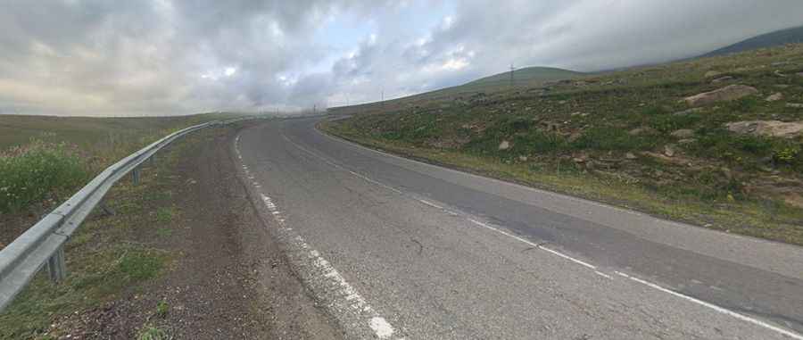
Yes, the road through the pass (part of the S11 / E691 highway) is fully paved and in good condition. While comfortable for standard passenger cars, it features steep gradients and sweeping mountain bends.
How long is Tikmataji Pass?
The mountain road crossing the pass is 71 km (44 mi) long, running roughly north-to-south from Tsalka (in Kvemo Kartli) to Ninotsminda (in Samtskhe-Javakheti).
Is Tikmataji Pass open year-round?
Set high on the Javakheti Plateau of the Lesser Caucasus mountain range, it is one of the highest paved roads in Georgia. The route is open year-round, though short-term closures in winter are common due to heavy snowfalls and blizzards, and driving can be hazardous because of frequent patches of black ice.
Is Tikmataji Pass worth the drive?
Yes. The landscape is remarkably remote and expansive—an endless stretch of road, open grasslands, volcanic mountains, and vast skies. The pass sits right near Lake Paravani, the largest lake in Georgia, at an elevation of 2,073 m (6,801 ft) above sea level. A few years ago, archaeologists discovered a 4,000-year-old Bronze Age burial mound submerged beneath its waters; despite the lake's shallow depth of about 3 m (10 ft), the water is quite murky, making underwater excavation challenging.
Pic: Anna Szymanska