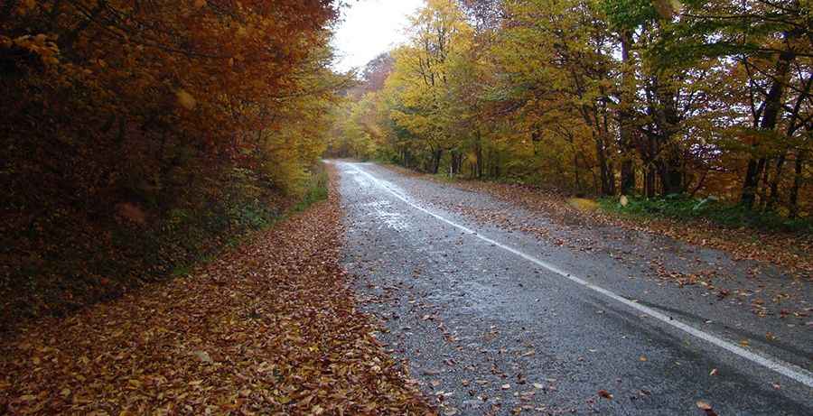
The paved road to Sabaduri Pass in the Tbilisi NP
Sabaduri Pass is a high mountain pass at an elevation of 1,423m (4,668ft) above sea level, located in the Mtskheta-Mtianeti region of Georgia.
Where is Sabaduri Pass?
The pass, also known as Sabadura Pass, is located in the eastern part of the country, within the Sabaduri Forest of the Tbilisi National Park.
Is Sabaduri Pass paved?
The road through the pass is totally paved and in pretty good condition. It’s called the Tbilisi–Tianeti road.
How long is Sabaduri Pass?
The scenic road to the summit is 60km (38 miles) long, running south–north from Tbilisi (the capital of the country) to Tianeti.
How challenging is Sabaduri Pass?
Although paved, the road is far from easy and remains challenging due to its steep sections and numerous curves, including more than 40 hairpin bends. Set high in the Caucasus Mountains, winter ice and snow make the drive especially hazardous and even more demanding.
Pic: PlamenB