An epic road to Zagari Pass in the Caucasus
Pereval Zagari is a high mountain pass at an elevation of 2.620m (8,595ft) above sea level, located in Georgia. The road to the summit is in awful shape. Better avoid it.
Where is Zagari Pass?
The pass is located on the boundary between Samegrelo-Zemo Svaneti and Racha-Lechkhumi and Kvemo Svaneti regions, in the northwestern part of the country.
Is Zagari Pass unpaved?
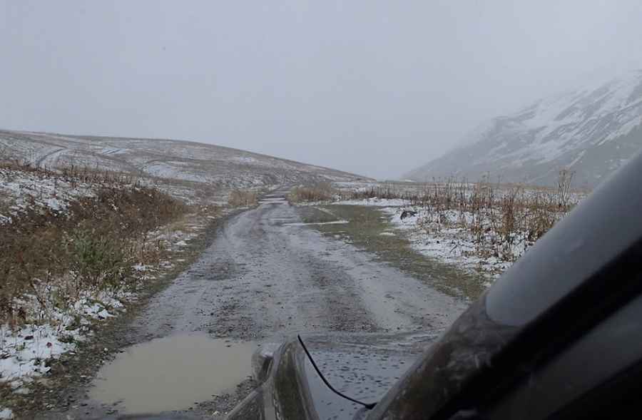
The road to the summit is totally unpaved and usable by anybody with an SUV, a spare tire, and a large, full gas tank. However, according to many sources and people who have driven here, they believe it’s a mistake to label it as a road for cars on the map; it should be marked as a mud road or a path for walking.
How long is Zagari Pass?
The pass road is 92.3km (57.35 miles) long, running from Tsageri to Ushguli, the highest continuously inhabited settlement in Europe at an elevation of 2.410m (7,910ft) above sea level.
How long does it take to drive Zagari Pass?
The whole trip takes around 5 1/2 hours at a leisurely pace, including various stops. The journey offers astounding views of mountain peaks, lush valleys, and the remains of glaciers. The summit offers a great view of the central Caucasus ridge dominated by peaks Ailama and Tsurungali.
Is Zagari Pass open?
Set high in the Caucasus Mountain range, this road is usually impassable from late October through late June or early July, depending on snow.
Is Zagari Pass dangerous?
The drive can take your breath away: The path is bumpy, littered with rocks and frequent streams, and has perilously steep drops. It is hardly used because it’s really tough. Periods of heavy rain make the road undrivable. The armed robberies you probably heard about seem to be a thing of the past, and you can safely travel across the region and even take on the occasional hitch-hiker.
Pic: Shekhar Damle