Driving the steepest road of Poland (24%) to Karkonoska Pass
Przełęcz Karkonoska is an international mountain pass at an elevation of 1.263m (4,143ft) above sea level, located on the Polish-Czech border.
Where is Karkonoska Pass?
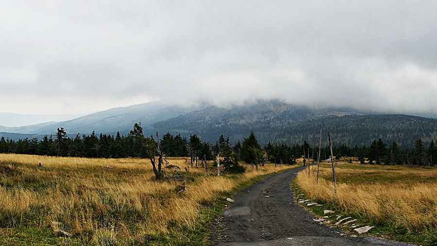
Set high in the central Karkonosze (Giant) Mountains, within the Karkonoski National Park, the pass, also known as Karkonosze Pass, is located on the border of the historical region of Lower Silesia in Poland and the Hradec Králové Region of the Czech Republic.
How long is the road to Karkonoska Pass?
The pass is 12.2 km (7.58 miles) long, running north-south from Sobieszów (part of the town of Jelenia Góra in southwestern Poland) and Špindlerův Mlýn (in northern Czech Republic). Although road quality on the Polish side is relatively poor, the pass is much sought after by mountain bikers.
Is the road to Karkonoska Pass challenging?
The road to the summit is paved but in very poor conditions due the weather. It’s said to be the steepest road of Poland with a maximum gradient of 24% in parts, with an average of 15% on a 820m ascent.
Pic: Łukasz Wachowicz