How to get by car to Karagyol Reservoir?
Karagyol is a high mountain reservoir at an elevation of 2,359 m (7,739 ft) above sea level, located in Kyustendil Province, in Bulgaria. It’s one of the highest roads in the country.
Where is Karagyol Reservoir?
The reservoir, also known as Karagiol, is located north of Kalin Reservoir, in the southwestern part of the country. On a clear day, the summit offers breathtaking panoramic views of the surrounding mountains.
When was the road to Karagyol Reservoir built?
The road to the reservoir was built between 1943 and 1946.
How challenging is the road to Karagyol Reservoir?
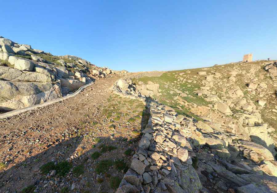
The road to the dam is extremely challenging. It is called Road to Vintcheto. It starts asphalted, with a few concrete parts, but suddenly, near the end, it turns into a gravel road, for 4x4 vehicles only. It is in pretty bad condition, with potholes, narrow sections, and steep inclines. The climb sweeps up the mountainside with a series of switchbacks, although the rough road surface may demand something a little more heavy-duty than your conventional road bike.
How long is the road to Karagyol Reservoir?
Starting from the paved 107 Road, near Pastra, the road is 18 km (11.18 miles) long. Over this distance, the elevation gain is 1,803 m and the average gradient is 10.01%. It’s about 18 km (with 28 hairpin turns) at an average gradient of ten per cent, with some parts up to 20%.
Is the road to Karagyol Reservoir open in winter?
Set high in the Rila mountain range, the road tops out at 2,553 m (8,375 ft) above sea level. Vintcheto, the summit, is marked by a crumbling old building. It’s said to be the highest concrete-paved road in the Balkans. The highest part of the road is closed between late October and the beginning of July due to snow.
Pic: Ivan Dimitrov