Botev Peak is the highest road of the Balkan Mountains
Botev Peak is a high mountain peak at 2,376 meters (7,795 feet) above sea level, located between Lovec and Plovdiv provinces in Bulgaria. It’s one of the highest roads in the country.
Why is it called Botev Peak?
The peak, previously known as Yumrukcha, is named after Hristo Botev, a Bulgarian poet and revolutionary.
What’s on top of Botev Peak?
At the summit, there's a weather station and a radio tower, inaugurated on July 10, 1966. This tower broadcasts Bulgaria's primary FM and TV networks, covering about 65% of the country and parts of Romania and Turkey. There's also a mountain refuge at the summit.
How to get to Botev Peak?
The peak is within the Central Balkan National Park and can be accessed by a walking trail on the southern side and a gravel road on the north.
How long is the road to Botev Peak?
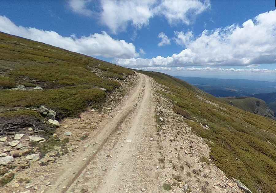
The road to the peak is called Route 607. 4x4 vehicles only. Starting from Ostrets, this route is 35.1 km (21.81 miles) long and ascends by 1,803 meters, averaging a gradient of 5.13%. Once above the tree line, the road offers great viewss.
Is the Botev Peak Road Accessible Year-Round?
Set high in the central-southern region of Bulgaria, within the Stara Planina mountains, the peak often faces harsh weather conditions and is typically accessible only in summer. Average temperatures range from -8.9°C (16.0°F) in January to 7.9°C (46.2°F) in July. Dense fog and cloud cover are common.
How Challenging is the Road to Botev Peak?
The mountain conditions are unpredictable. While there are no significant wild animals, you may encounter grazing sheep and occasional cows. The paths are generally maintained, but hazards like slippery rocks and minor injuries can occur. Always have a backup plan.
Pic: valentin pamoukov