How to Get to Paljenik by Car
Paljenik is a high mountain peak at an elevation of 1,933m (6,341ft) above sea level, located in the Central Bosnia Canton of the Federation of Bosnia and Herzegovina.
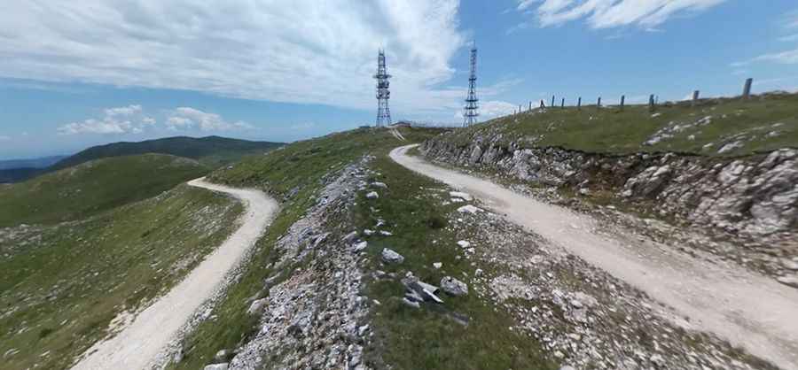
What’s at the Summit of Paljenik?
Tucked away in the central part of the country, the summit hosts a communication tower known as the Travnik radio prijemnik. Until the '90s, this area served as a military communication center with underground bunkers.
Is the Road to Paljenik Unpaved?
The road to the summit is a gravel dirt track. Some people strongly advise against off-road driving due to land mines in the area. A 4x4 vehicle is recommended.
How Long is the Road to Paljenik?
Starting from the paved R413a road, the ascent is 8.0 km (4.97 miles) long. Over this distance, the elevation gain is 462 meters, with an average gradient of 5.77%.
Is the Road to Paljenik Open in Winter?
Set high in the Vlašić Mountain range, the road to the summit is usually impassable from October to June due to snow.
Pic: Hazim Terzić