Take the Scenic Bruce Road and Discover Whakapapa ski field
Whakapapa is a ski resort at an elevation of 1,624m (5,328ft) above sea level, located in Manawatū-Whanganui, a region in the lower half of the North Island of New Zealand. It’s one of the highest roads in the country.
Is the road to Whakapapa ski field paved?
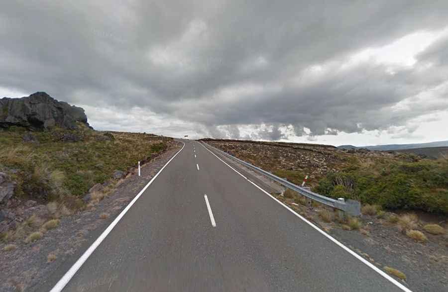
Tucked away in Tongariro National Park, the two-lane road to the summit is totally paved. It’s called Bruce Road. By New Zealand ski field standards, it’s like an autobahn.
How long is the road to Whakapapa ski field?
Starting at State Highway 48, the road to the resort is 6.2km (3.85 miles) long. It’s a very steep drive, hitting an 11% maximum gradient through some of the ramps. The elevation gain is 457 meters. The average gradient is 7.37%. A chairlift service road (-39.244768, 175.561340), on the way to Mount Ruapehu, climbs up to 1,778m (5,833ft) above sea level. Only 4x4 vehicles are allowed. It’s totally unpaved.
Do I need chains to drive to Whakapapa?
Set high on the northern side of Mount Ruapehu, the country’s largest active volcano, weather conditions can be changeable over the day, and mountain visitors are advised to be prepared and carry basic survival equipment. Although severe weather is unusual and generally forecasted, it has claimed several lives over the years. On some occasions, you will need to fit chains as you approach Whakapapa Village, particularly if you have a 2WD vehicle.