Travel guide to the top of Porters Pass in New Zealand
Porters Pass is a mountain pass at an elevation of 948m (3,110ft) above sea level, located in the Canterbury region of New Zealand's South Island.
Why is it called Porters Pass?
The pass was named in 1858 after the Porter brothers who were farming nearby.
Is the road to Porters Pass paved?
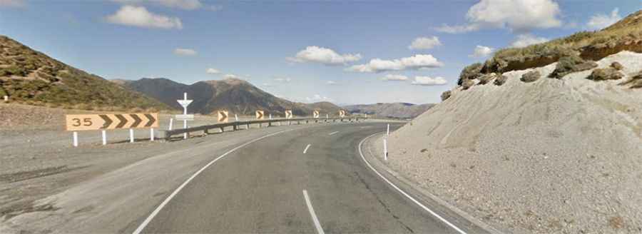
Set high in the Torlesse Tussocklands Park, the road to the summit is fully paved. It’s called State Highway 73 (Great Alpine Highway). Open to traffic throughout the year, may be closed for short periods in winter when the weather is bad. The drive has great views of the Canterbury Plains.
How long is Porters Pass?
The pass is 32.4 km (20.13 miles) long running from Castle Hill Village (an alpine village) to Springfield (a small town).