Driving to Island Saddle, the Highest Public Road in New Zealand
Island Saddle is a high mountain pass at an elevation of 1.371m (4,498ft) above sea level located in New Zealand. At this elevation, it’s said to be New Zealand's highest public road.
Where is Island Saddle?
The pass is located on the boundary between Canterbury and Marlborough, in the northern part of the country.
When was the road through Island Saddle built?
The road through the summit was built in the 1950s to install electricity pylons to the Nelson and Buller regions.
How long is Island Saddle?
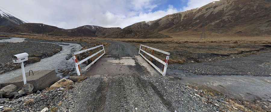
The road to the summit is totally unpaved. It’s called Rainbow Road, also known as Rainbow Valley–Hanmer Road. It is 112km (70 miles) long, running from Hanmer Springs to Saint Arnaud. It is accessible by 4WD vehicles only (2WD to Lake Tennyson).
Is Island Saddle open in winter?
Set high in the Crimea Range, the road crosses private land and is only open for public access from late December to early April.
Pic: Bri C