Take the Scenic Route and Discover Gebbies Pass in NZ
Gebbies Pass is a high mountain pass at an elevation of 161m (528ft) above the sea level, located in Canterbury, on the east coast of New Zealand’s South Island.
Is Gebbies Pass in NZ paved?
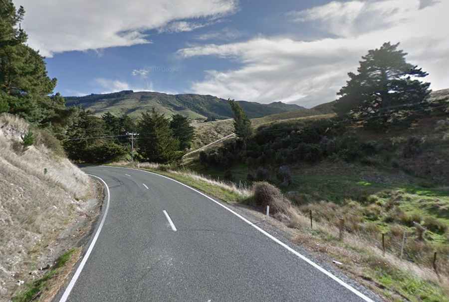
Set high in the Port Hills (Te Poho-o-Tamatea), the road to the summit is fully paved. It’s called Gebbies Pass Road. Near the summit is the Gebbies Pass radio transmitter, one of several erected by the New Zealand Broadcasting Board between 1932 &1936 to extend radio broadcasting coverage in the main centres.
How long is Gebbies Pass in NZ?
The pass is 8.8 km (5.46 miles) long, running from Motukarara (to the northeast of Lake Ellesmere / Te Waihora in the Selwyn District) to Teddington (on Banks Peninsula at the head of Lyttelton Harbour / Whakaraupō). Located to the south of Christchurch, be aware it is a bit narrow and twisty. It has very steep parts, hitting a 10% of maximum gradient through some of the ramps.