The Best Auckland Road Trips
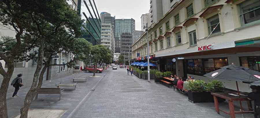
Driving out of Auckland, New Zealand’s primary logistics hub, involves navigating a transition from high-capacity motorways to technical, winding coastal roads. Regional transit towards Northland or the Coromandel Peninsula requires specific attention to road surface changes, steep gradients, and the logistical challenges of remote fuel availability and rapid maritime weather shifts.
| Auckland Regional Driving Logistics | |
|---|---|
| Primary Route North | State Highway 1 (SH1) |
| Primary Route East | State Highway 2 (SH2) / SH25 |
| Road Surface | Coarse-chip seal (High tire wear) |
| Terrain | Volcanic ranges and winding coastal cliffs |
What are the driving hazards on the Auckland West Coast (Muriwai)?
The 40 km transit from Auckland to Muriwai transitions from urban tarmac to narrow, winding roads through the Waitakere Ranges. Logistically, these roads are prone to slips and washouts after heavy rainfall. The black sand coastal environment means that salt spray and fine volcanic grit can accelerate corrosion on vehicle undercarriages and affect air filter longevity. Drivers should be aware that coastal tracks in this area often have high gradients and limited shoulder space, requiring precise steering and consistent speed management.
How to manage the long-distance logistics to Cape Reinga?
The road trip to Cape Reinga is a significant logistical undertaking, situated approximately 450 km north of Auckland. While the State Highway 1 is paved all the way to the lighthouse, the northernmost sections are highly exposed to extreme winds. Logistically, fuel management is critical; the last reliable service stations are in Houhora or Waitiki Landing. Beyond this point, mechanical assistance is limited. The road features several steep climbs and sharp descents where the Pacific Ocean and Tasman Sea currents meet, creating a microclimate that can lead to sudden fog and reduced visibility on the technical final kilometers of the SH1.
What are the technical challenges of the Coromandel Peninsula?
Driving the Coromandel Peninsula (SH25) is one of the most demanding technical routes near Auckland. The road is a continuous sequence of tight hairpin turns and steep coastal grades. The "Coromandel Loop" requires heavy use of engine braking to prevent brake fade, especially when descending towards Cathedral Cove or Hot Water Beach. Many sectors are prone to rockfalls and are extremely narrow, often reduced to single-lane bridges. During the summer peak, tourist traffic density increases the risk of head-on collisions on blind corners; keeping left and maintaining a low speed is a mandatory safety protocol here.
Driving logistics: Puhoi and Matakana sectors
The routes towards Puhoi and Matakana utilize the Northern Gateway Toll Road (SH1). This is a fully electronic toll system; vehicles are identified by plate recognition cameras, and payment must be settled online to avoid administrative fines. Beyond the motorway, the roads transition into rural hilly terrain. These sectors are frequently used by heavy logging trucks and agricultural machinery, which can leave debris on the road. The asphalt in these rural areas is typically coarse-chip seal, which provides good grip but significantly increases tire noise and fuel consumption due to higher rolling resistance.