How to drive the long Diamantina Developmental Road in Queensland?
Located in Queensland, Australia, the Diamantina Developmental Road is a very exciting journey, taking in every kind of terrain, landscape, and vista that Australia has to offer. It’s one of Australia’s longest roads.
How long is the Diamantina Developmental Road?
The road is 1,344 km (835 mi) long and links Charleville (south-central part of the state) and Mount Isa (north-west). It passes through the towns of Quilpie, Windorah, Bedourie, Boulia, and Dajarra.
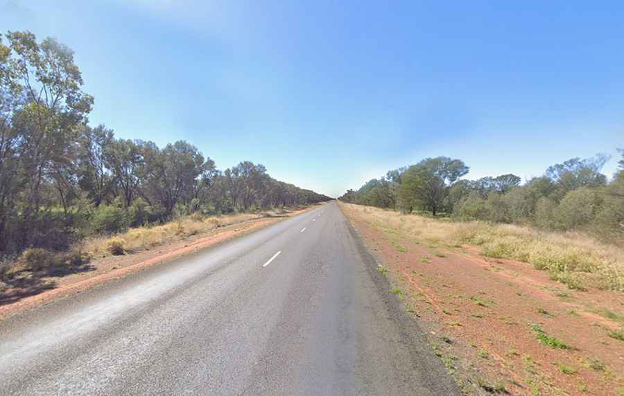
Is the Diamantina Developmental Road paved?
The whole journey is mostly on a sealed road, which can be driven along by all vehicle types. Just some sections between Windorah and Boulia are unsealed. It comprises State Route 14 (Charleville – Windorah), State Route 12 (Windorah – Bedourie), and National Route 83 (Bedourie – Mount Isa).
Are there rivers to cross along the Diamantina Developmental Road?
It’s a very exciting adventure. Along the way, the road crosses several well-known rivers and creeks of the Channel Country of south-west Queensland, including the Paroo River, Bulloo River, Cooper Creek, and Diamantina River. River crossings are always at risk in extreme weather situations.
How to get ready to drive the Diamantina Developmental Road?
Weather conditions will change substantially from start to finish. Carry lots of water and fuel with you. There can be animals on the road. The journey requires planning and careful preparation. Driving at night is best avoided. Mobile phone coverage along the route is varied.