The Inhumane Climb to Mount William with 29% Ramps
Mount William is a mountain peak at an elevation of 1,167m (3,829ft) above sea level, located in Victoria, Australia.
Where Is Mount William?
The peak, also known as Duwul or Duwil, is located in the western part of Victoria, within the Grampians National Park. Mount William is the highest point in the park and provides great 360-degree views of mountain ranges and open plains. The summit is crowned with a communications station.
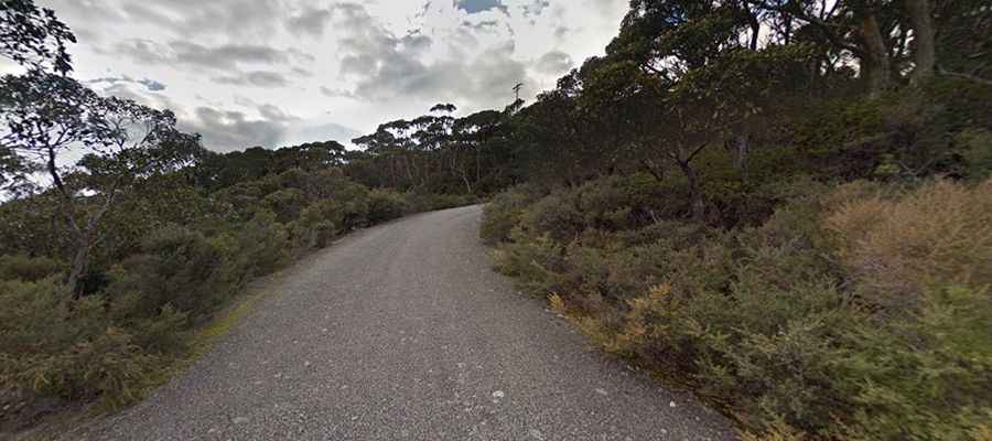
Is the Road to Mount William Paved?
The road to the summit is called Mount William Road. It’s 11.6km (7.20 miles) long. The road is fully paved but pretty narrow and very steep. The road is slippery after rains. The drive offers fantastic views most of the way to the top. The last 1.8km is closed to the general public, but there’s a sealed service road to the summit.
How Steep Is the Road to Mount William?
Starting from the C16 Road, at 347m above sea level, the gradient settles in at around 5-6%. The steepest section is a sharp left-hander at 10.1km, which reaches a maximum of 29%.