Get behind the wheels for Thunderbolts Way
Thunderbolts Way is a very scenic drive in the Northern Tablelands region of New South Wales, on the east coast of Australia.
Why is it called Thunderbolts Way?
The road is named after Australia's "Gentleman" bushranger, Fred Ward, alias Captain Thunderbolt.
When was Thunderbolts Way built?
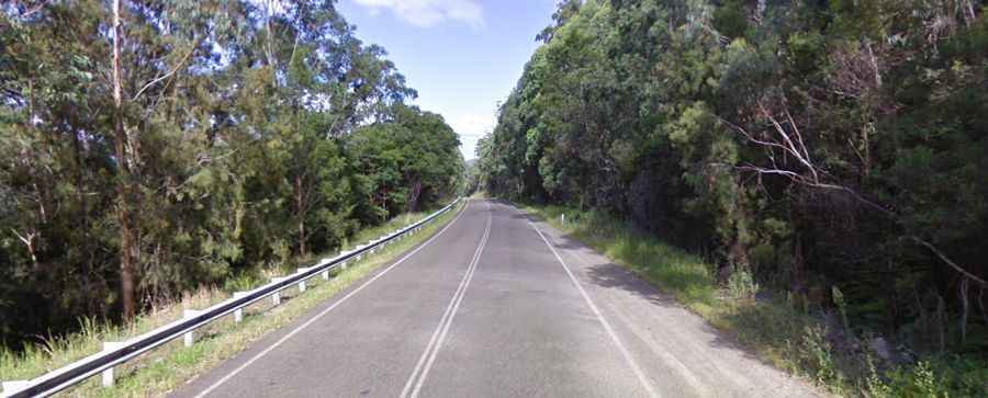
Construction of the road began in 1958 and was completed in 1961. It runs through thickly forested mountainous areas with many nearby national parks and nature reserves.
Is Thunderbolts Way a sealed road?
The road is totally paved and pretty narrow in parts but poorly maintained, pretty damaged, and does have some potholes. The road is not recommended for caravans.
How long is Thunderbolts Way?
It’s 305km (189 miles) long running north-south from Inverell (a large town situated on the Macintyre River, close to the Queensland border) to Gloucester (a town in Mid-Coast Council, within the Manning district on the Mid North Coast).
How steep is Thunderbolts Way?
The road is very hilly and winding and hits a 20% maximum gradient through some of the ramps north of Gloucester. If you are towing a trailer, think twice about going up or down. Expect steep terrain and often inclement weather. Not recommended in wet weather.
How long does it take to drive Thunderbolts Way?
To drive the road without stopping will take most people between 3.5 and 4.5 hours. The drive is very scenic and provides spectacular views around every bend. The drive features interesting viewpoints along the way.