Burke Developmental Road is a remote route in Queensland
The Burke Developmental Road is one of the most iconic remote routes in Queensland, Australia. Spanning 1,079 km (670 mi), it cuts through the heart of the savannah woodland country, linking Far North Queensland to the Gulf of Carpentaria and the northwestern interior. It’s one of the longest roads in Australia.
Where does the Burke Developmental Road start and end?
The route commences at Dimbulah, about 120 km west of Cairns. From there, it heads west across the base of the Cape York Peninsula to Normanton, at the southern edge of the Gulf of Carpentaria. The final leg turns south, ending at Cloncurry, near the mining hub of Mt Isa. Locally, the section east of Dimbulah is known as the Mareeba-Dimbulah Road.
Burke Developmental Road Facts
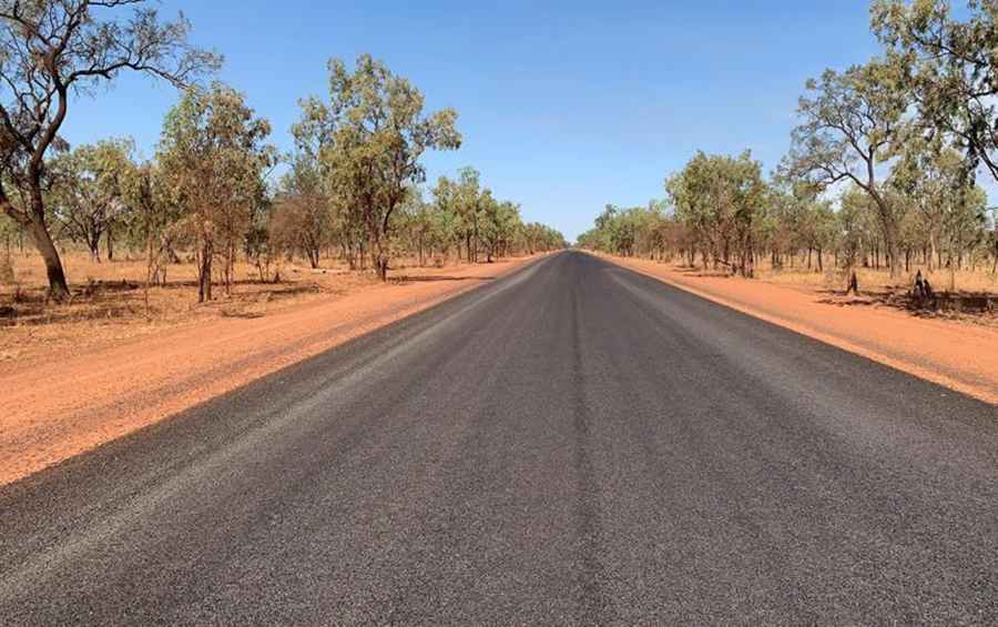
Is the Burke Developmental Road paved?
The road is a mix of sealed (bitumen) and unsealed (gravel and dirt) sections. It was originally constructed to service the beef and mining industries, and today it remains a vital lifeline for remote cattle stations and graziers. Be prepared for single-lane bitumen sections. When encountering a Road Train (massive trucks up to 53m long) on these narrow strips, it is essential to pull completely off the road to the left to avoid dust and flying stones.
Driving Challenges: The Wet Season and Remote Safety
While the drive offers a stunning experience of the Australian Outback, it requires careful planning:
- Monsoonal Flooding: During the wet season (typically November to April), the road can become impassable within hours. Major river crossings, such as the Walsh and Mitchell Rivers, are prone to flooding, potentially cutting off the route for weeks.
- Remote Conditions: Vast stretches have no cell coverage. It is essential to carry extra fuel, water, and a satellite communication device or UHF radio.
- Wildlife and Cattle: The road passes through unfenced stations where thousands of cattle and kangaroos often wander onto the track, especially at dawn and dusk.
Key Stops and Fuel Supplies
Supplies are limited along the 1,000 km stretch. Key points for fuel and basic services include Chillagoe, the remote Dunbar Station, Normanton, and the historic Burke & Wills Junction. It is a rule of thumb in the Outback to fill up at every opportunity, as distances between pumps can exceed 200 km.
Pic: Queensland Reconstruction Authority