A journey on the legendary Carpentaria Highway
Carpentaria Highway is a very scenic journey across the mid-section of the Northern Territory of Australia.
Why is it called Carpentaria Highway?
The highway is named after the Gulf of Carpentaria. The road is an important service route for the pastoral, tourism, agricultural, and mining sectors of the area. It is the most northerly route across this part of the continent passable year-round.
How long is the Carpentaria Highway?
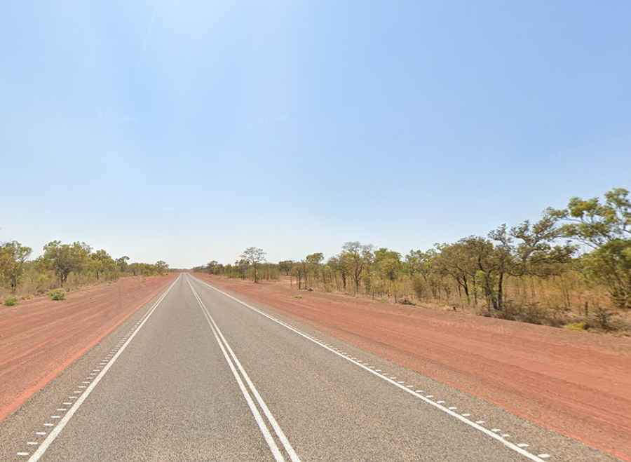
Part of the National Route 1, the road is totally paved but narrow in parts, with a narrow one-lane strip. It’s 380km (236 miles) long, running west-east from Birdum (south of Daly Waters) on the Stuart Highway to Borroloola, on the McArthur River.
Is Carpentaria Highway challenging?
It’s one of the Northern Territory's most remote drives, connecting the deserts of the outback with the subtropical hinterland of the Gulf of Carpentaria. It’s quite narrow in places, and by any standard, this is a long and tough haul through very remote territory. The road's in poor condition. The dual-lane section of the Carpentaria Highway north of the McArthur River mine makes passing oncoming road trains routine.
How long does it take to drive the Carpentaria Highway?
To drive the road without stopping will take most people between 6 and 7 hours. The isolation of the area requires travelers to be totally self-sufficient with water, food, and fuel. Tank facilities are available at the beginning of the road at the Hiway Inn, Cape Crawford, and the end of the road in Borroloola.