How to drive the unpaved Pajinka Road to the northernmost point of Australia
Located in the Northern Peninsula Area Region of Queensland, Australia, Pajinka Road is a 34 km dirt track that leads to the northernmost point of the Australian mainland at Cape York.
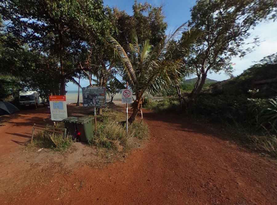
| Location | Northern Peninsula Area Region, Queensland, Australia |
| Length | 34 km (Seisia to Cape York Tip) |
| Surface | Unpaved dirt track (with short bitumen sections) |
| Vehicle Required | 4WD only |
| End Point | Cape York car park (20-minute walk to The Tip sign) |
Where is Pajinka Road located?
Pajinka Road runs through the Northern Peninsula Area Region at the far north of Queensland. Pajinka is the local Aboriginal name for the land at the tip of the Cape York Peninsula, marking the northernmost point of the Australian continent.
How long is Pajinka Road?
The route is 34 km long, running south to north from the coastal town of Seisia to the parking lot at the end of the peninsula. Just before the car park, the track passes the abandoned buildings of the former Pajinka Wilderness Lodge. From the parking area, drivers must walk about 20 minutes over rocky ground to reach the famous sign marking the northernmost point of the Australian continent.
Is Pajinka Road unpaved?
Yes, it is a narrow dirt track with only short stretches of bitumen, making it strictly 4WD territory. Standard high-clearance 4x4 vehicles can pass through during the dry season, though road conditions change constantly depending on weather and grader maintenance. After rain, deep water-filled ruts and large puddles turn into small river crossings.
What are the rules and hazards on Pajinka Road?
Traffic peaks between 9:00 am and 4:00 pm, kicking up thick dust on narrow single-lane sections. Drivers should keep headlights on at all times and carry a CB radio tuned to UHF Channel 40 to call ahead before overtaking. Slower vehicles must pull over on the short bitumen sections to let faster traffic pass rather than speeding up on the tar.
Pic: Dominic Wyss