Take the Scenic Alpine Way and Discover Dead Horse Gap
Dead Horse Gap is a high mountain pass at an elevation of 1.597m (5,239ft) above the sea level, located in New South Wales, in Australia.
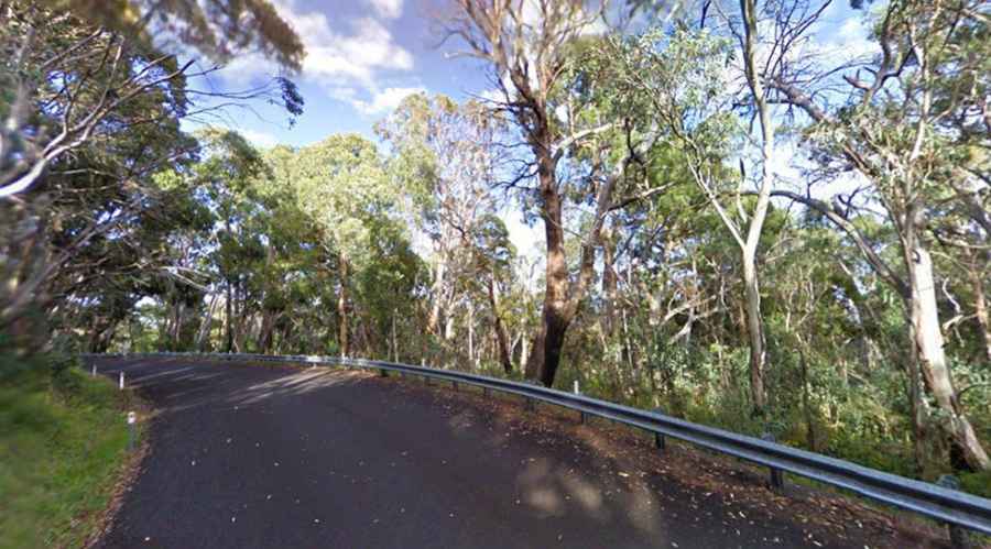
Set high in the high country of the Victorian Alps, within the Kosciuszko National Park, the road to the summit is totally paved. It’s called Alpine Way, often referred to as the Kosciuszko Alpine Way. Opened in the 1950’s, the road was totally paved in the 1990’s. It’s 123km (76.4 miles) long running east-west, from Jindabyne to the New South Wales/Victorian border. At this elevation it’s the highest point of the road.
Tucked away in the southeastern part of the country, the road is typically open all year round, with the occasional closure in winters due to dangerous weather conditions. Conditions can be extreme and may change rapidly, particularly in winter. It is required that all two-wheel drive vehicles carry snow chains between Thredbo and Tom Groggin between June and October long weekends.
The drive is steep, hitting a 13% of maximum gradient through some of the ramps. The road has narrow sections and some steep gradients between Khancoban and Thredbo. It is not recommended for trucks, buses and vehicles towing large caravans.