A challenging mountain road to Sa Mu Pass in Quang Tri
Đèo Sa Mù is a mountain pass at an elevation of 1,400m (4,593ft) above sea level, located in western Quảng Trị, a coastal province near the southernmost part of the North Central Coast region, in Vietnam.
Where is Sa Mu Pass?
The pass is located in the west-central part of the country, near the Laos border.
Is the road to Sa Mu Pass paved?
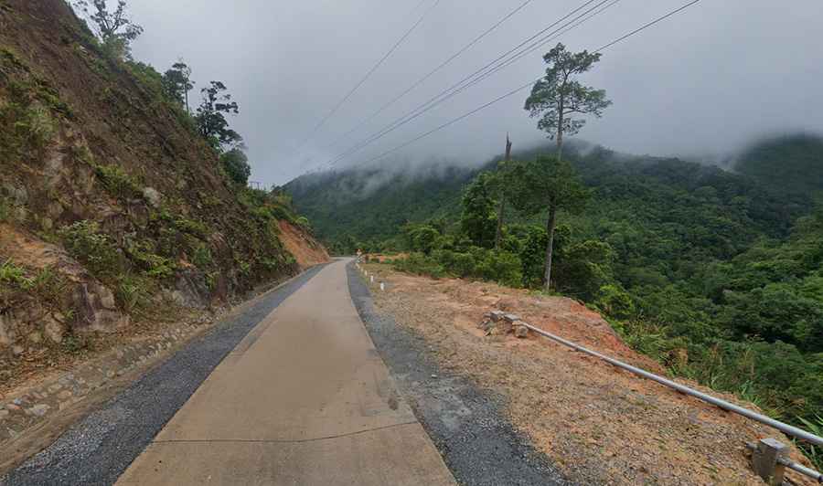
The road to the summit is a pretty dangerous drive. It’s called Ho Chi Minh Highway. It's totally paved yet not in the best condition, even with concrete parts. It features many steep and winding slopes. In the past, local people considered Sa Mu as a "ghost road" because of its dangerous sections. The zone is prone to wind and fog.
How long is the road to Sa Mu Pass?
The road through the pass is 36km (22 miles) long, running south-north from Cồ Nhổi Phùng Linh to Thôn Trăng. It is a big challenge for drivers when driving north-south.