How to drive the curvy road to O Quy Ho Pass, the cloudy mountain pass?
O Quy Ho Pass is a deserted high mountain pass at an elevation of 2,014m (6,607ft) above sea level, located in Lai Chau province of Vietnam.
Where is O Quy Ho Pass?
The pass is located near the Lao Cai Province boundary, in the northwestern part of the country. People know the pass as the “cloudy mountain pass” because its top is covered with white clouds almost all year round.
Is O Quy Ho Pass paved?
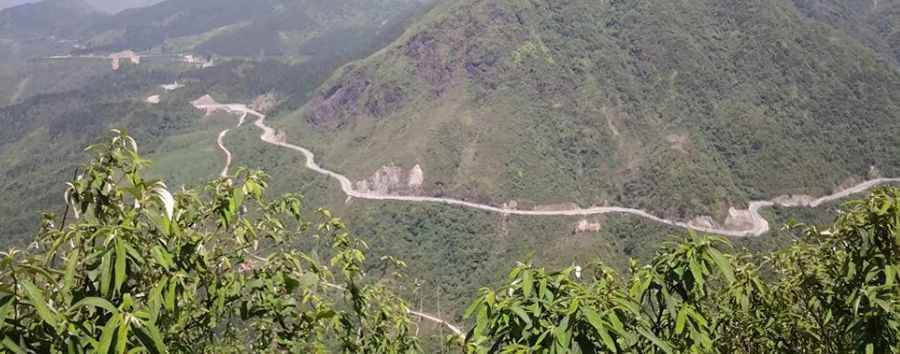
The road to the summit is called QL4D. It’s fully paved and pretty steep. It’s a very twisting drive, with thousands of turns.
How long is O Quy Ho Pass?
Set high in the Hoàng Liên Son Mountains, the road through the pass is 37 km (23 miles) long, running west-east from Cò Lá to Sa Pa.
Pic: Nus Yaj