Is Jebel Al Mebrah harder than Mortirolo and Angliru?
Reaching an elevation of 1,527m (5,010ft) above sea level, Jebel Al Mebrah (also known as Jabal Yibir) is a formidable peak located in the rugged Hajar Mountains of the United Arab Emirates. Known for its punishing gradients and military significance, it represents one of the most technical and physically demanding paved climbs in the Middle East.
| Road facts: Jebel Al Mebrah (Jabal Yibir) | |
|---|---|
| Location | Hajar Mountains, UAE |
| Elevation | 1,527 m (5,010 ft) |
| Length | 17.15 km (10.6 miles) |
| Average Gradient | 7.94% |
| Max Gradient | 18% |
Is Jebel Al Mebrah harder than Mortirolo and Angliru?
The climb to Jebel Al Mebrah is often compared with legendary European cycling giants like the Passo di Mortirolo in Italy and the Alto de l'Angliru in Spain. While it lacks the greenery of the Alps, it matches them in sheer brutality. Featured in the UAE Tour, it has earned a reputation as a "leg-breaker" because the final 6 km maintain an average gradient of 12%, with extreme sections hitting a maximum of 18%. Unlike the European climbs, here you also have to fight the intense desert heat, making it arguably more punishing for the organism.
Is Jebel Al Mebrah the highest mountain in the UAE?
Yes, Jebel Al Mebrah is the highest mountain entirely located within the United Arab Emirates. While Jebel Jais is often associated with the highest point in the country, its true summit actually lies in Oman. At 1,527m, Jebel Al Mebrah surpasses the famous Jebel Hafeet (1,240m), making it the ultimate geographic roof of the Emirates. The peak offers breathtaking views over the Musandam Peninsula and the Northern Emirates, with temperatures at the summit typically 15 degrees Celsius lower than the surrounding desert plains.
Is the road to Jebel Al Mebrah paved?
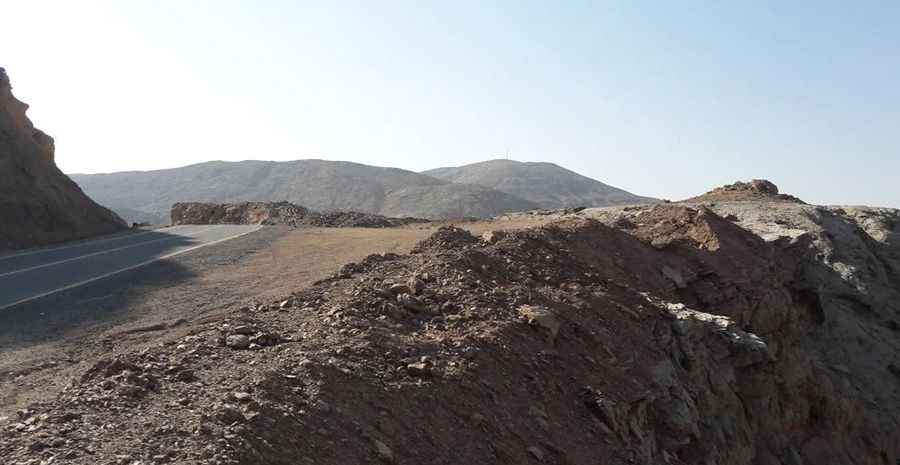
The road to the summit is fully paved, but drivers should not expect a smooth highway experience. The asphalt surface is in poor condition in several sections, having been severely damaged by flash floods and heavy rainfall over the years. Debris and cracks are common, requiring a vigilant eye. Despite the rough pavement, the engineering is impressive, featuring a series of steep and quirky hairpin bends that snake up the Hajar range.
Is the road to Jebel Al Mebrah steep?
Starting from Tawiyan, the ascent is 17.15 km (10.66 miles) long. Over this distance, the elevation gain is a massive 1,359 meters. While the average gradient is 7.94%, this number is highly deceptive. The climb is split into sections: the first part averages around 7%, followed by a relentless final stretch where gradients stay constantly above 10–12%. This level of steepness requires maximum torque from your engine and a perfect braking system for the way down.
Can you drive to Jebel Al Mebrah?
Access to the absolute summit is restricted. The top houses a telecommunications tower and a strategic military base, so the final section is off-limits to civilians. Private cars are generally allowed to drive up to approximately 1,300m above sea level, ending at a military checkpoint. Even so, the drive to this point is incredible, offering some of the best mountain views in the country. Be prepared for security checks and ensure you carry proper identification.
Pic: Arif Ahsan Shaikh
Road suggested by: Andrew Wheeler