How to drive the unpaved mining road to Tagrich Pass?
Tagrich Pass is a high mountain pass at an elevation of 3,496m (11,469ft) above sea level, located in the Ayni District of Tajikistan. Situated in the southern part of the Sughd Province, the access via the western side is a technical mining road—also known as Pindor Pass—that requires high-clearance 4x4 vehicles to manage the extreme vertical gain and the primitive unpaved surface.
| Road facts: Tagrich Pass (Pindor Pass) | |
|---|---|
| Location | Ayni District, Sughd (Tajikistan) |
| Max Road Elevation | 3,496 m (11,469 ft) |
| Length | 12.1 km (7.51 miles) from Margib |
| Average Gradient | 10.10% |
| Surface | Unpaved (Mining debris and rocky soil) |
Where is Tagrich Pass?
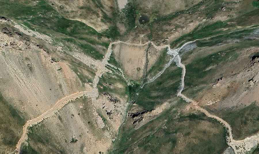
The pass is located in the northwestern part of Tajikistan, within the rugged mountain ranges of the Sughd Province. Logistically, the Tagrich Pass serves as a high-altitude mining corridor. Driving in this sector requires navigating the narrow valleys of the Ayni District, where the roadbed is subject to seasonal washouts and constant geological instability.
Is the road to Tagrich Pass unpaved?
Yes, the road to the high point is entirely unpaved. Technically, it is a heavy-duty mining road characterized by narrow sections, tight turns, and numerous dangerous drops without guardrails. A robust 4x4 vehicle is mandatory to maintain traction on the loose rocky soil. Logistically, the road is designed for industrial transit, meaning civilian drivers must be prepared for irregular roadbeds and high-exposure shelf road sectors where passing room is non-existent.
How long is the road to Tagrich Pass?
Starting from the village of Margib, the road climbs for 12.1 km (7.51 miles). Over this distance, the elevation gain is a massive 1,223 meters. Technically, this results in a sustained average gradient of 10.10%, which is exceptionally steep for such a long transit. This verticality puts an extreme load on the vehicle's drivetrain and cooling system, especially given the reduced oxygen levels at nearly 3,500 meters.
Mechanical requirements for the 10.10% Sughd descent
The 12.1 km descent back to Margib requires the exclusive use of engine braking to manage speed. Technically, the 10.10% average gradient creates a high thermal load on the braking system, which can lead to rapid brake fade on the unpaved ramps. Logistically, drivers should verify tire sidewall integrity before the climb, as the sharp mining debris and rocks of the Ayni District are prone to causing punctures. Mechanical self-sufficiency is a priority, as no assistance is available in this remote mountain sector.
Road suggested by: Hugh Wilson