The road to Riverston Peak is said to be the scary of scaries
Riverston Peak is a high mountain peak at an elevation of 1,445m (4,740ft) above sea level, located in the district of Matale, in the Central Province of Sri Lanka.
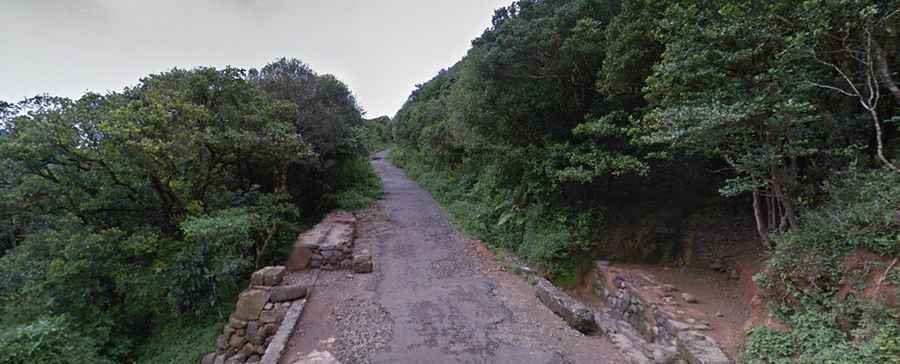
Is the road to Riverston Peak paved?
The windy, rough road to the summit is totally paved but in very bad condition, with potholes. It’s pretty narrow with sharp hairpin turns. Except for large vehicles, it’s passable by most vehicles. Having a 4x4 vehicle will make your journey more comfortable.
How long is the road to Riverston Peak?
Starting at the paved B274 road, the ascent is 2km (1.24 miles) long. Over this distance, the elevation gain is 149 meters. The average gradient is 7.45%.
When is the best time to drive to Riverston Peak?
Avoid public holidays because the area is fully packed with locals, and you can’t enjoy the view. The weather is constantly changing; rain can fall at any time, and the wind is mighty. With frequent gusts of wind blowing down the road, in the evenings, the fog may also intensify.
Is Riverston Peak worth it?
Set high on the northern part of the Knuckles Mountain Range, the drive offers some of the best views of the surrounding countryside. Along the road, there is a viewpoint located midway that offers a stunning 360-degree view on clear days. The summit hosts a VHF transmission tower, known as Riverston Tower, that provides a panoramic view of the valley below.