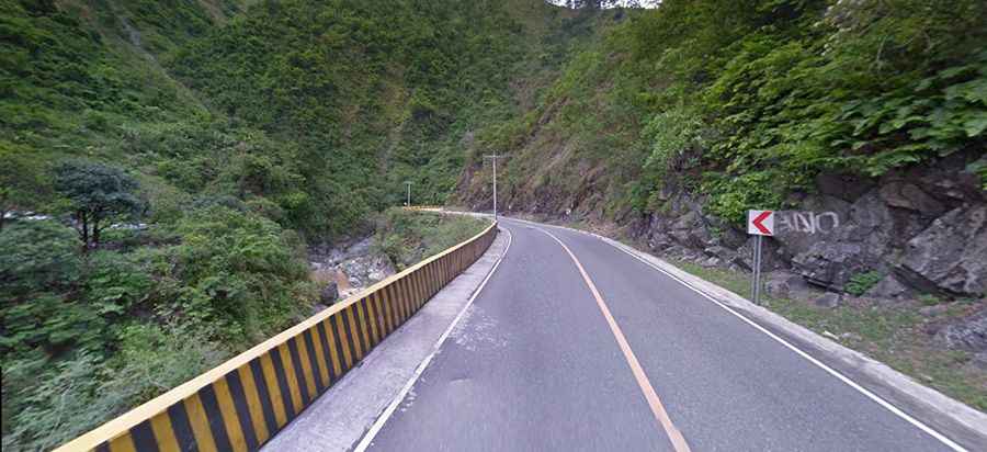
Driving the hazardous Kennon Road in the Philippines
Kennon Road, situated in northern Luzon, in the Philippines, is a picturesque highway that links Baguio City to Rosario, featuring a scenic journey through diverse landscapes.
Where does the Kennon Road start and end?
The road is also known as Rosario–Baguio Road. It’s 41.2 km (25.6 mi) long and links the mountain city of Baguio, at an elevation of 1,700m (5,500ft) above sea level, and the lowland town of Rosario, in La Union province.
How long does it take to drive the Kennon Road?
Negotiating the steep and winding climb by car usually takes an experienced commuter from 45 minutes to an hour for the 41.2-kilometer (25.6 mi) journey.
When was Kennon Road built?
The construction of this asphalted road started in 1903 and opened for travel on January 29, 1905. There are plans to declare the highway a national heritage park to preserve it for posterity in recognition of its being part of the nation's historical and cultural heritage.
Is Kennon Road Safe?
The drive is definitely worth it. For travelers coming from Manila or the provinces in the central plains of Luzon, it is the shortest route to Baguio. There is a need to be extra cautious when driving through the road since you will encounter sharp hairpin turns and blind curves. Also, guardrails are either missing along some portions of the road or are not strong enough to stop a wayward vehicle from falling into a deep ravine just beside it. In addition to all these, on certain months of the year, the late afternoon fog causes poor and limited visibility along the roadway. Travel time is frequently very long because of poor road conditions. It’s one of the most hazardous roads in the country, especially during rainy seasons when road accidents are common. The road is prone to closure due to landslides, particularly during heavy rains or typhoon conditions, to avoid casualties from landslides.