14 hairpin turns on the difficult road from Tagaytay to Talisay
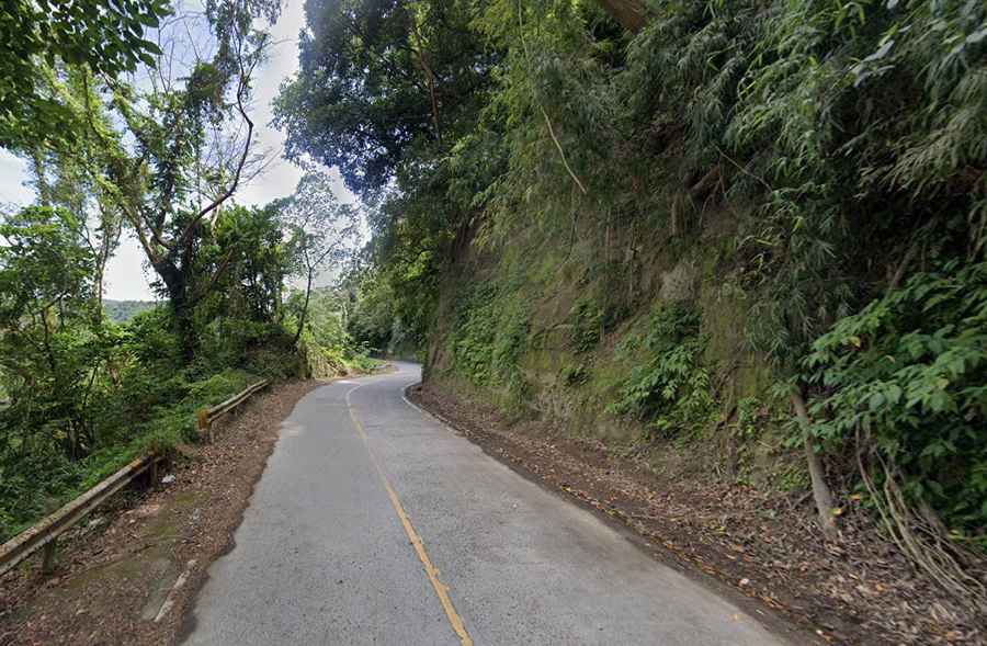
Straddling the border of Batangas and Cavite provinces, on the Philippine island of Luzon, the road from Tagaytay to Talisay is a very challenging mountain drive.
Is the road from Tagaytay to Talisay paved?
Located to the south of Manila, on the banks of Taal Lake, the road, also known as Sampaloc, is entirely paved with some concrete sections.
How long is the road from Tagaytay to Talisay?
It is 11.7 km (7.27 miles) long, running north-south from the village of Tagaytay (in the province of Cavite) to Talisay (in the Province of Batangas).
How challenging is the road from Tagaytay to Talisay?
It’s a difficult road, featuring 14 hairpin turns, blind corners, and gentle curves. There is a high risk of rock slides. The drive is quite steep, with a maximum gradient of 16% through some of the ramps. It can be closed at any time due to volcanic activity.
Is the road from Tagaytay to Talisay worth it?
Along the zigzag uphill road are a few natural viewpoints. The drive, with daunting steep drops at the road’s edges, offers stunning views of Taal Lake, located in the caldera of an active volcano.