Take the Scenic Route and Discover Dalton Pass
Dalton Pass is a mountain pass at an elevation of 892 m (2,926 ft) above sea level, located in central Luzon Island, in the Philippines.
Where is Dalton Pass?
The pass, also called Balete Pass, is located on the boundary between Nueva Ecija and Nueva Vizcaya provinces.
Why is it called Dalton Pass?
It was named after General James Dalton II, who was killed at this location in 1945 by a Japanese sniper.
Why is Dalton Pass famous?
The pass became the scene of a bloody battle during the final stages of World War II, resulting in the death of almost 17,000 Japanese, American, and Filipino soldiers. There are several memorials located on the pass dedicated to all the nations involved.
When was the road through Dalton Pass built?
The idea of building a road through the pass was first proposed by Father Juan Villaverde, a Spanish Dominican missionary active in Nueva Vizcaya and Ifugao in the late 19th century. In 1889, he wrote a letter suggesting a route through Mount Minuli to replace the existing path into the Cagayan Valley, which was extremely steep and crossed the highest peaks of the Caraballo Mountains east of his proposed line.
Father Villaverde noted that Mount Minuli’s gentle 5% slope made it suitable for both carts and potential railway construction. His initial route, however, avoided what is now the highest section of the pass, which he considered too steep. The actual road was later constructed during the American colonial period and completed in 1928.
Is Dalton Pass paved?
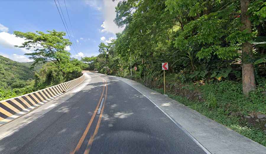
Set high where the Caraballo Sur and the Sierra Madre mountain ranges meet, the road to the summit is totally paved (with concrete sections), but extremely curvy, with hundreds of turns. It’s called AH26 (Pan-Philippine Highway). Lots of trucks and buses use this mountain highway.
How long is Dalton Pass?
The pass is 76.5 km (47.53 miles) long, running south–north from San Jose (in the province of Nueva Ecija) to Aritao (in the province of Nueva Vizcaya).