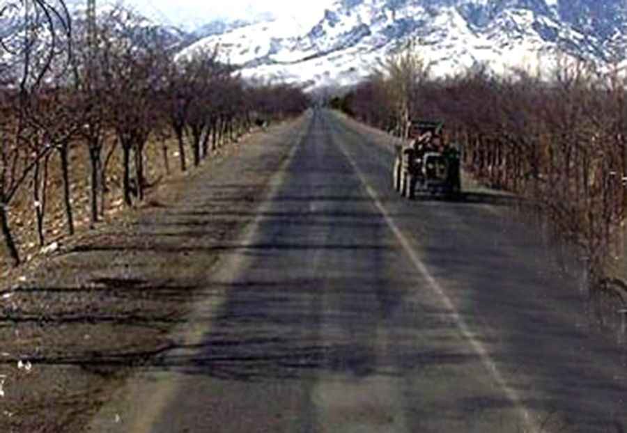
Driving the steep Pewar Road to Peiwar Pass in the Spin Ghar Mountains
Peiwar Pass is a strategic international mountain crossing at an elevation of 2,615m (8,579ft) above sea level, situated on the Durand Line between Afghanistan and Pakistan. Cutting through the Spin Ghar mountain range, the pass is a notorious bottleneck where extreme gradients and a volatile security landscape make it one of the most high-risk routes in the region.
| Road facts: Peiwar Pass | |
|---|---|
| Location | Border of Paktia (AFG) and Kurram (PAK) |
| Length | 20 km (12.4 miles) |
| Max Elevation | 2,615 m (8,579 ft) |
| Road Name | Pewar Road |
| Surface | Asphalt (variable condition) |
How challenging is the Pewar Road to the summit?
The road through the pass spans 20 km, connecting Aryob Zazi in Afghanistan with the village of Pewar in Pakistan's Khyber Pakhtunkhwa province. Although the surface is primarily asphalted, its condition is highly unpredictable due to lack of maintenance and heavy military traffic. The ascent is exceptionally steep, particularly as it approaches the summit from the Pakistani side. The final stretch features 7 sharp hairpin turns that demand heavy engine braking and precise steering. In this high-altitude environment, even paved sections can be treacherous, as the asphalt is often broken by deep ruts and rockfall debris from the surrounding Spin Ghar peaks.
What are the primary operational risks at Peiwar Pass?
Beyond the technical demands of the road, the primary hazard is the extreme isolation and the ongoing security situation. This is a militarized corridor where the border can close without warning. Logistically, drivers must be prepared for total self-sufficiency; there are no repair facilities or reliable fuel stops for miles. The pass has a violent history, most notably the Battle of Peiwar Kotal in 1878, and the surrounding terrain remains a high-risk zone for armed conflict. Any vehicle transiting this route is exposed on open mountain flanks where "shelf road" sections offer no cover and zero room for error.
Is the Peiwar Pass open during the winter months?
Snow is a decisive factor at 2,615 meters. Heavy snowfall typically closes the pass for up to five months of the year, usually from late November through April. During this period, the road becomes impassable for standard vehicles, and even 4x4s with chains struggle against the drifts that accumulate in the narrow hairpins. When the snow melts, the runoff often triggers landslides that can wash away entire sections of the asphalt, making the post-winter transit a gamble of navigating through mud and unstable rock.
What should you check before attempting this border crossing?
Transiting Peiwar Pass requires more than just mechanical preparation. Before committing to the 20 km climb, verify the current status of the Durand Line crossing points. Mechanically, ensure your cooling system can handle prolonged steep gradients and that your brakes are audited for heavy-load descents. Given the high risk of kidnapping and armed robbery in the Zazi and Kurram districts, travel in a single vehicle is highly discouraged. This is a route where mechanical failure is not just an inconvenience—it is a critical security vulnerability that leaves you stationary in one of the most dangerous border regions in the world.
Pic&more info: http://spreebird.blogspot.com.es/2013/04/parachinar.html