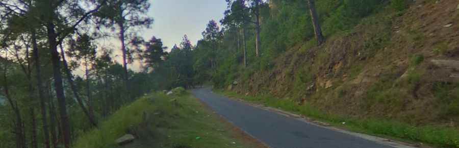
A wild paved road to Karakar Pass
Karakar Pass is a high mountain pass at an elevation of 1,336m (4,384ft) above sea level, located in Khyber Pakhtunkhwa province, Pakistan.
Where is Karakar Pass?
The pass is located in the Hindu Kush mountains, in the northern part of the country. At the summit, there are a few constructions, including a mosque, a police checkpoint, and a rest area.
Is Karakar Pass paved?
The road through the pass is fully paved, yet challenging, with narrow parts, dangerous drops, and a few steep sections. It’s called Buner Road.
How long is Karakar Pass?
The road is 30km (18 miles) long, running south-north from Barikot (a town located in the middle course of the Swat River) to Bazargey. From the top of the pass, there are great views of the Buner Valley.
Is it safe to drive to Karakar Pass?
Exercise a high degree of caution in Pakistan due to the unpredictable security situation. There is a threat of terrorism, civil unrest, sectarian violence, and kidnapping.
Pic: Azam Hussain