Dare to drive the dangerous Deosai Park Road
Deosai Park Road is a very defiant drive located in the Skardu Gilgit-Baltistan province of Pakistan.
How long is Deosai Park Road?
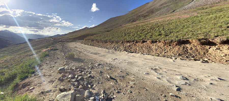
Tucked away on the northern part of the country, the road is 84km (52 miles) long, running north-south from Skardu to Astore Valley Road. It’s mostly unpaved. A 4x4 vehicle is required. The road crosses several rivers on scary bridges, as well as one of the most spectacular bridges in the world.
Is Deosai Park Road worth it?
Located within the Deosai National Park, the road climbs up to Ali Malik Mar Pass (at 4,082m-13,392 ft above sea level) and Chhachor Pass (at 4.209m-13,809ft asl) and runs along countless lakes, including the Sheosar Lake, Blind Lake, at an elevation of 4.158m (13,641ft) above sea level. The lake is considered as one of the highest lakes in the world.
Is Deosai Park Road open?
Set high in the Deosai Plains, the second highest plateau in the world, after the adjoining Tibetan Plateau, between the ridge of the Himalayas and Karakoram, the road is accessible only in summers. For just over half the year - between November and May - Deosai is snow-bound. In the summer months when the snow clears up, Deosai is accessible from the Astore Valley in the west and Skardu in the north. There are still a lot of snow fields on the surrounding slopes at the beginning of summer, so melting water makes the path completely muddy. Its passability is then very difficult. The territory is known as the land of giants which remains a snow-bound bailiwick in the chilling winters.
Pic: mr. jafy