How to drive the unpaved road to Kalpani Pass in Upper Dir
Kalpani Kandao is a high mountain pass at an elevation of 2,206 meters (7,237 ft) above sea level, located in the Khyber Pakhtunkhwa province of Pakistan.
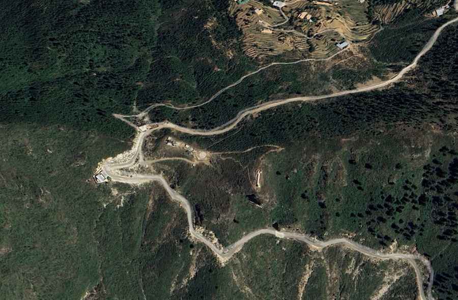
| Road facts: Kalpani Pass | |
|---|---|
| Location | Upper Dir, Khyber Pakhtunkhwa (Pakistan) |
| Elevation | 2,206 m (7,237 ft) |
| Length | 32.2 km (20 miles) from Barawal Bandi |
| Surface | Unpaved (Dirt, gravel, and loose stones) |
Where is Kalpani Pass?
The pass is located in the Upper Dir District, in the northern part of the country.
Is the road to Kalpani Pass unpaved?
The road to the summit is totally unpaved with loose dirt, deep ruts carved by erosion, and sharp stones. It’s narrow and features sustained grades with numerous tight hairpin turns.
How long is the road through Kalpani Pass?
The unpaved mountain road is 32.2 kilometers (20 miles) long, running north-south from Barawal Bandi to Lal Qila. It lacks civilian facilities, lighting, or fuel stations. A high-clearance 4x4 vehicle is required.
Is the road to Kalpani Pass open year-round?
Set high within the rugged mountain sectors of the Hindu Kush foothills, due to its altitude the pass faces heavy alpine snow drifts and thick ice sheets that leave the unpaved surface completely blocked and impassable from December until late March. The route receives no winter plowing or clearance services. During the summer time, the track is highly subject to sudden rockfalls and major landslides triggered by monsoon rains.
Road suggested by: Hugh Wilson