Ganga Peak: A Dangerous Road You May Want to Explore
Ganga Choti is a high mountain peak at an elevation of 2,785m (9,137ft) above sea level, located in Bagh District, in Pakistan. The road to the top is pretty steep.
Where is Ganga Peak?
The peak is located in Azad Jammu and Kashmir, usually known simply as Azad Kashmir, in the northeastern part of the country, within the Jehlum valley.
What’s at the summit of Ganga Peak?
The top of Ganga Peak, more commonly known as Ganga Choti among locals, hosts an observatory with a small tower placed at the top. The area can be very crowded during holidays. It is an attraction for tourists in that area.
Is the road to Ganga Peak paved?
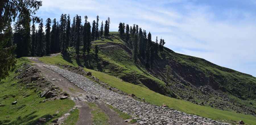
The curvy road to the summit comprises paved and unpaved parts. A few years ago, the final part of the climb was on an unpaved mule track. The approach was a bit difficult as the last couple of kilometers were only possible with a 4x4 vehicle with high clearance. But according to some sources, a new paved road would be available to reach the summit. This information couldn’t be confirmed.
How long is the road to Ganga Peak?
Starting from Sudhan Galli, the road to the summit is 5.7 km (3.54 miles) long. Over this distance the elevation gain is 527 meters. The average gradient is 9.24%.
Is the road to Ganga Peak open in winter?
Set high in the Pir Panjal Range, the summit receives heavy snowfalls in winters. And remember, the rain can start at any time and will not stop for hours.
How dangerous is travelling to Ganga Peak?
Avoid non-essential travel to Pakistan due to the unpredictable security situation and ongoing military clashes between Pakistan and India. There are also threats of terrorism, civil unrest, sectarian violence, and kidnapping. Avoid all travel to areas near the borders with India, as tensions between the two countries can change suddenly. Travelers may face difficulties when moving between Pakistan and India and could be subject to scrutiny by officials if either country becomes aware that you have recently traveled to the other.