Driving the 4x4 track to Sang Da La Pass in Nepal
Sang Da La is a high-altitude mountain pass reaching an elevation of 5,310m (17,421ft) above sea level, located in the remote Dhawalagiri Zone of Nepal. Positioned in the Mustang District near the Chinese border, it is officially one of the highest roads in the country, demanding extreme 4x4 logistics.
| Road facts: Sang Da La (Nepal) | |
|---|---|
| Location | Mustang District, Nepal |
| Elevation | 5,310 m (17,421 ft) |
| Max Gradient | 25% |
| Average Gradient | 13.44% |
| Surface | Unpaved / Washed out sections |
How challenging is the drive to Sang Da La Pass?
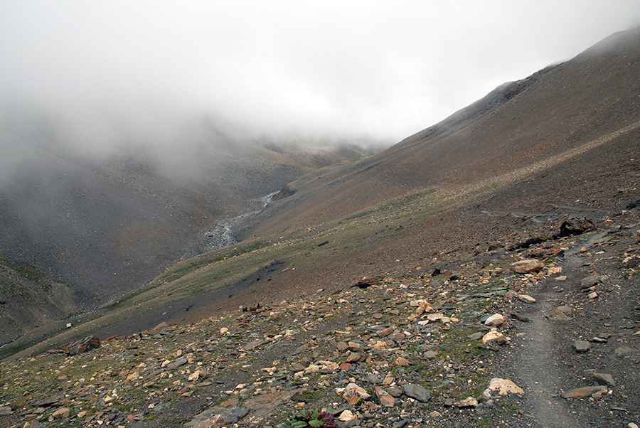
The 15.4 km (9.5 miles) track from Sangda to the 5,310m summit is a brutal logistical undertaking. Technically, the road gains 2,070 meters of elevation with a punishing average gradient of 13.44%, peaking at 25% in certain sectors. Logistically, the roadbed is exceptionally narrow, meaning two vehicles cannot pass simultaneously. The track is frequently washed out by seasonal runoff, creating deep gullies that require a high-clearance 4x4 with specialized suspension to avoid bottoming out on the sharp Himalayan rock.
What are the technical hazards of Sang Da La Pass?
Beyond the 25% gradients, the main technical hazard of Sang Da La is the extreme altitude of 17,421ft. At this height, atmospheric pressure is significantly lower, leading to a severe drop in engine compression and cooling efficiency. Logistically, drivers must account for the high risk of altitude sickness affecting physical reflexes. The terrain is largely unprotected, featuring exposed vertical drops and sharp bends on loose scree. Total self-sufficiency is mandatory, as the Mustang District offers zero mechanical recovery services for this remote high-altitude corridor.
When is the road to Sang Da La Pass open?
Due to its proximity to the glaciated peaks of the Himalayas, Sang Da La is typically impassable during the winter and monsoon seasons. Logistically, the operational window is restricted to late April-June and September-November. Technically, even during the open season, high-altitude blizzards can block the 15.4 km transit in minutes. Before attempting the climb, it is essential to verify restricted area permits through authorized local channels, as independent motorized travel is strictly regulated by Nepal's Department of Immigration in this border-sensitive region.
Pic: Sergey Pashko