How to get to the summit of Niwar La Pass in the Dhawalagiri Zone
Niwar La is a high mountain pass at an elevation of 5,204 m (17,073 ft) above sea level, located in the remote Dhawalagiri Zone of Nepal. It's one of the highest roads in the country.
Where is Niwar La Pass?
The peak is located in Mustang District, in the northern part of the country, near the Chinese border. At the summit, there are a few prayer flags.
Is Niwar La Pass unpaved?
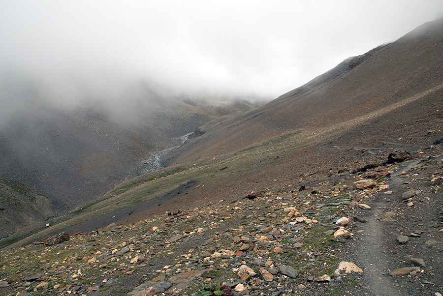
The road to the summit is totally unpaved and difficult. It comprises narrow parts, impassable for two average vehicles at the same time, steep stretches (hitting a maximum gradient of 20%), dangerous drops, and many turns. One of the biggest challenges is altitude sickness. It is vital to acclimatize gradually and drink plenty of water to avoid dehydration. In parts, the road is pretty much washed out and might be impossible to navigate with a vehicle.
How long is Niwar La Pass?
The road to the summit is 18 km (12 miles) long, starting from Sangda. Over this distance, the elevation gain is 2,095 m, and the average gradient is 11.63%. A 4x4 vehicle is required.
When can I drive to Niwar La Pass?
The zone is largely mountainous, part of the Himalayan region, and includes some of the most rugged and high-altitude terrain in Nepal. The best time to face the road is during the late spring and early autumn seasons, from late April to June and September to mid-November.
How to get to Niwar La Pass?
Traveling to Chhusang in Upper Mustang requires special permits, as the region is a restricted area. These permits are issued by Nepal’s Department of Immigration and must be arranged through authorized local trekking agencies. Independent travel is not allowed, and visitors are required to follow local regulations. Permit fees are charged per person per day. All travelers should carry their permits at all times while in the region.
Is Niwar La Pass worth the drive?
Isolated from modern development, the drive provides dramatic landscapes with deep valleys, high passes, and glaciated peaks.
Pic: Sergey Pashko