Extreme Expedition Roads: Accessing the highest passes of Nepal
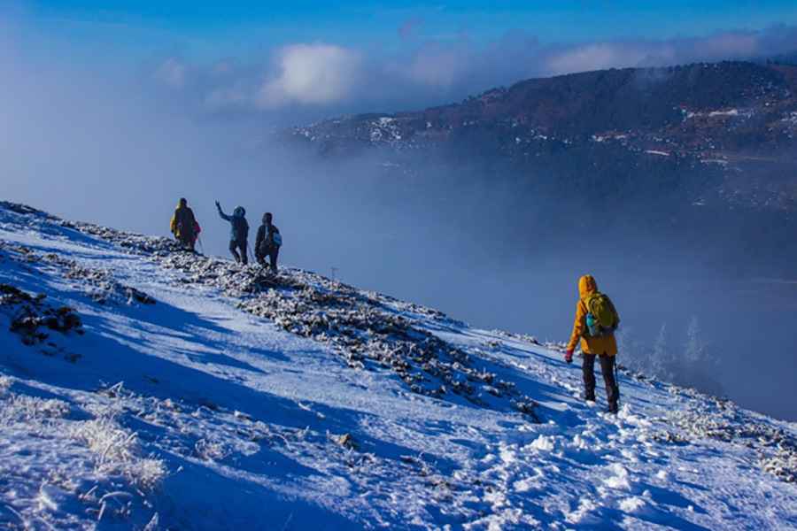
Nepal is home to some of the most formidable high-altitude terrain on the planet, but beyond the famous trekking paths lies a network of extreme expedition roads. Accessing regions like Upper Mustang, Dolpo, or the Manaslu circuit requires navigating supply tracks that push the limits of mechanical endurance. These are not standard roads; they are raw, unpaved shelves carved into the Himalayas where landslides, river crossings, and oxygen deprivation define every kilometer of the journey.
| Road facts: Nepal Expedition Routes | |
|---|---|
| Regions | Upper Mustang, Manaslu, Dolpo, Kanchenjunga |
| Max Elevation | Over 5,000m (16,400ft) in service tracks |
| Terrain | Unpaved, rocky, glacial debris |
| Vehicle Req. | High-clearance 4x4 / Heavy-duty trucks |
How challenging is the 4x4 track to Upper Mustang?
The road into Upper Mustang is a masterclass in high-desert driving. Starting from Jomsom, the track follows the Kali Gandaki riverbed before climbing toward Lo Manthang. The ferro here is the river crossing and the vertical rock cuttings. During the monsoon, the road can vanish under flash floods, while in the dry season, the dust is so thick it clogs air filters in minutes. Navigating the passes like Teri La and Saribung La involves managing steep gradients on loose shale where the lack of safety barriers means zero margin for error. This is a supply line where only high-torque 4x4 vehicles can handle the sustained climbs above 4,000 meters.
Why are the Manaslu supply roads so dangerous?
Accessing the Manaslu Circuit region by motor vehicle is a logistical nightmare. The roads connecting the lower valleys to the Nubri and Tsum areas are prone to massive landslides that can block transit for weeks. The track is often a single lane wide, hemmed in by the Budhi Gandaki river gorge. Driving here requires constant vigilance for falling rocks and the movement of local transport trucks that dominate the narrow shelf. The high humidity of the lower sections turns the unpaved surface into a slick mud trap, while the upper sections toward the Larkya La pass area are defined by glacial debris and technical hairpins that test the vehicle steering geometry to its limit.
What are the hazards of driving in the Dolpo and Limi Valley?
The Limi Valley and Upper Dolpo represent the farthest reaches of Nepal's road network. These are high-altitude deserts where the tracks cross passes like Kang La (5,360m) and Saldang La (5,200m). At these elevations, the loss of engine power is severe, and the risk of mechanical failure is compounded by the absolute isolation. There are no repair shops or fuel stations for hundreds of kilometers. Navigating the Humla Karnali river valley toward the Tibetan border requires a vehicle in perfect mechanical condition, as the combination of extreme cold and thin air can freeze fuel lines or cause battery failure overnight. Self-sufficiency with full recovery gear is the only operational protocol.
Is the road to Kanchenjunga Base Camp passable for vehicles?
Reaching the foot of Kanchenjunga involves a grueling 200km transit that transitions from jungle forests to high mountain grasslands. The road is a mix of steep climbs and icy debris as it approaches the higher elevations. The primary hazard here is the combination of tropical rain in the lower sectors—which creates deep ruts—and the freezing temperatures of the upper reaches. It is a slow-motion journey where the average speed rarely exceeds 15 km/h. For any driver, the Kanchenjunga access road is a test of patience and mechanical sympathy, where the technical integrity of the suspension and the traction of the tires are the only guarantees for a safe return from the world's third-tallest mountain massif.
Pic: https://pixabay.com/photos/hiking-winter-mountain-fog-snow-7712678/