Travel guide to the top of Chyangchumi La
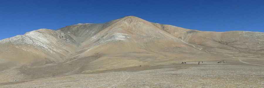
Chyangchumi La is an international high mountain pass at an elevation of 5.177m (16,984t) above sea level, located on the border of China and Nepal. It's one of the highest roads in the country.
Where is Chyangchumi La?
The pass links Mustang District in the Gandaki Province of northern Nepal and the prefecture-level city of Xigazê in the Tibet Autonomous Region. The summit is home to a Chinese military post.
Is the road to Chyangchumi La unpaved?
The road to the summit is totally unpaved. It’s a Chinese military road. 4x4 vehicle with high clearance required.
How long is the road to Chyangchumi La?
Starting from Jiangqu Meitang, the road to the summit is about 12km long. It’s extremely steep on its final part.
Is the road to Chyangchumi La open year-round?
At this elevation, accessibility is largely limited to the summer season. The road is totally closed to civilians.
Road suggested by: Jorge Manuel Gómez Sánchez
Pic&more info: https://www.martinpierre.fr/pages/treks-asie/nepal-grand-tour-du-mustang/