How to drive the unpaved road to Pereval Zhamanbay-Bel?
Pereval Zhamanbay-Bel is a high mountain pass at an elevation of 2230m (7,316ft) above sea level, located in the Jalal-Abad Region of Kyrgyzstan.
Where is Pereval Zhamanbay-Bel?
The pass is located in the Toktogul District, in the northern part of the country.
Is the road to Pereval Zhamanbay-Bel unpaved?
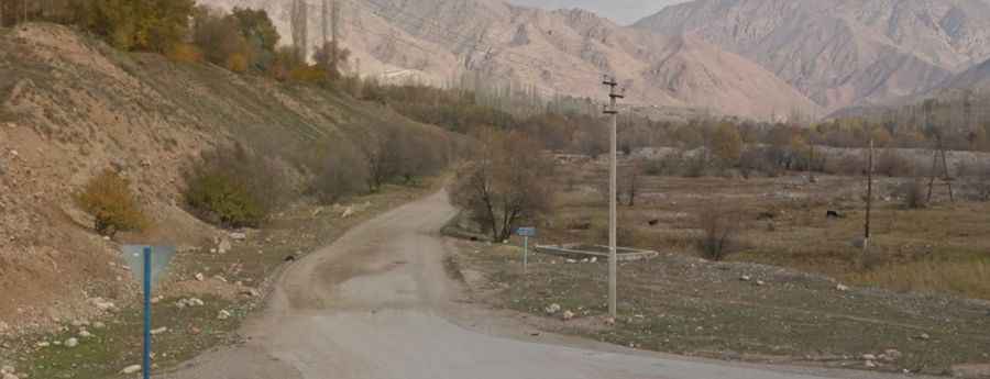
The road to the summit is totally unpaved, gravel and rocky. It’s a difficult drive, with countless curves, more than 60 hairpin turns, and very steep sections. A 4x4 vehicle is required.
How long is the road to Pereval Zhamanbay-Bel?
The road through the pass is 60km long, running west-east from Sary-Sögöt to Toluk. On the way to the summit, the road climbs up to Pereval Tuzduu-Suu, a high mountain pass at an elevation of 1.970m (6,463ft) above sea level, to Pereval Karagan-Zhayyk and Pereval Baykaldyn Uyu.
Is the road to Pereval Zhamanbay-Bel open year-round?
Set high in the Chatkal Range, the track is not regularly cleared of snow, and it can be closed at any time depending on weather conditions.