How to drive the steep Pereval Mazar-Asjuu in the Tien Shan?
Pereval Mazar-Asjuu is a high mountain pass at an elevation of 3,832m (12,572ft) above sea level, located in the Chuy Region of Kyrgyzstan.
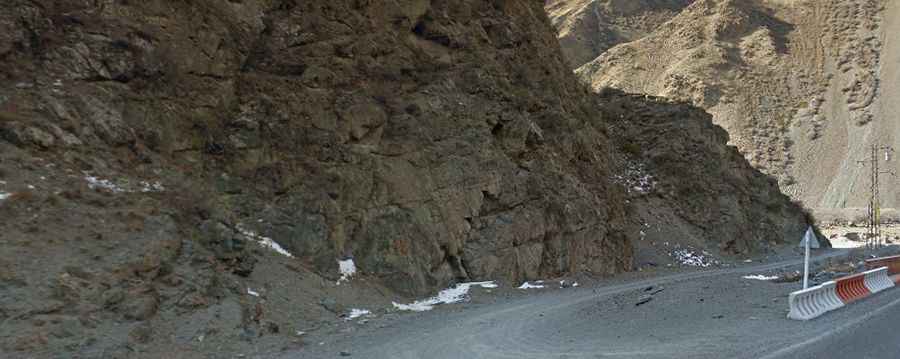
| Road facts: Pereval Mazar-Asjuu | |
|---|---|
| Location | Chuy Region, Kyrgyzstan |
| Elevation | 3,832m (12,572ft) |
| Length | 18 km (11.1 miles) |
| Elevation Gain | 1,741 m |
| Average Gradient | 9.67% |
| Surface | Gravel / Rocky |
How long is the road to Pereval Mazar-Asjuu?
Starting from the paved Pamir Highway (M41) at 2,091m above sea level, north of the famous Töö-Ashuu Tunnel, the road to the summit is 18 km (11.1 miles) long. Over this distance, the elevation gain is 1,741 meters and the average gradient is 9.67%.
Is the road to Pereval Mazar-Asjuu unpaved?
The road to the summit is totally unpaved and a capable 4WD vehicle is essential. It is a wild and remote region.
How challenging is the climb to Pereval Mazar-Asjuu?
The road is pretty defiant. It features 25 sharp hairpin turns and very steep sections, hitting a 15% of maximum gradient. The descent and ascent are narrow and exposed, with significant drop-offs that are not for those with a fear of heights.
Is the road to Pereval Mazar-Asjuu open year-round?
Set high in the Kyrgyz Alatau range of the Tien Shan mountains, due to its extreme altitude, the summit is subject to heavy snowfall for most of the year, making the road impassable outside of the short summer window. Because the track is not regularly cleared of snow, it can be closed at any time depending on weather conditions.