Pereval Kitjine-Sarybeles: The high-altitude 4x4 track to Kel-Suu Lake
Located in the At-Bashi District of Naryn Province, in southeastern Kyrgyzstan, Pereval Kitjine-Sarybeles is a high mountain pass reaching an elevation of 3,542m (11,620ft) above sea level. This secluded pass sits in the shadow of the Chinese border, offering access to some of the most remote and stunning alpine scenery in the Tian Shan mountain range.
| Road facts: Pereval Kitjine-Sarybeles | |
|---|---|
| Location | At-Bashi District, Naryn, Kyrgyzstan |
| Elevation | 3,542 m (11,620 ft) |
| Coordinates | 40.758540, 76.351380 |
| Road Type | Rough Dirt/Gravel (4x4 Required) |
| Hazard Level | Extreme (Isolation & River crossings) |
Where is Pereval Kitjine-Sarybeles?
The pass is situated at the coordinates 40.758540, 76.351380, in a sensitive border zone where Kyrgyzstan meets China. Due to its proximity to the frontier, traveling through this region often requires special border permits. The area is dominated by the vast, high-altitude plateaus of Naryn, where traditional roads give way to "mule tracks" and unofficial dirt paths carved by local shepherds and border patrols.
Is the road to Pereval Kitjine-Sarybeles paved?
No, the road to the summit is entirely unpaved. It is a rough dirt and gravel track that is frequently bumped, rutted, and severely affected by erosion. A high-clearance 4WD vehicle is non-negotiable here. The route is notoriously difficult to navigate as it often disappears into the landscape. One of the most critical hazards is at least one difficult river crossing near Jyrgal's Yurt Camp, which can become impassable depending on recent snowmelt or rainfall. Proper water-fording equipment and knowledge of the terrain are essential to avoid a mechanical disaster.
How challenging is the drive to Kel-Suu Lake?
The rough dirt road over Pereval Kitjine-Sarybeles is the primary gateway to the breathtaking Kel-Suu Lake. However, the track's passability varies greatly depending on water levels and soil erosion. The climb is steep and exposed to strong winds all year long. At over 3,500 meters, snow is possible even in the middle of August. The combination of wet mud, extreme temperature shifts, and the high gradient makes this drive a grueling test for any engine and transmission system.
What facilities are available near Pereval Kitjine-Sarybeles?
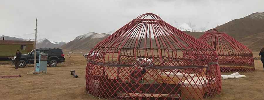
Facilities in this region are almost non-existent. There is no cell phone service, no fuel stations, and no medical aid for dozens of kilometers. The only sign of civilization near the pass is Jyrgal's Yurt Camp, which offers basic high-altitude shelter. Travelers must be fully self-sufficient, carrying extra fuel, professional recovery gear, and a comprehensive supply of food and water. In the event of a breakdown, the notorious lack of passing traffic means you could be stranded for days. Total preparation is the only way to ensure a safe journey through this absolutely amazing but unforgiving border region.
Pic: Asel Omuralieva