How to drive the unpaved road to Sary-Chelek Lake?
Sary-Chelek Lake is a high mountain lake at an elevation of 1,893m (6,210ft) above sea level, located in the Jalal-Abad Region of Kyrgyzstan. The unpaved mountain track requires a high-clearance 4x4 vehicle to negotiate narrow gravel turns and steep gradients.
| Road facts: Sary-Chelek Lake | |
|---|---|
| Location | Jalal-Abad Region, Kyrgyzstan |
| Length | 38.5 km (23.9 miles) |
| Max Gradient | 10% |
| Surface | Unpaved (Gravel and loose rock) |
| Elevation Gain | 1,011 m |
Where is the road to Sary-Chelek Lake?
The road sits in the northwestern part of Kyrgyzstan, inside the Sary-Chelek Nature Reserve. The name Sary-Chelek translates to Yellow Ladle. The lake spans approximately 4.9 square kilometers and forms part of the protected Sary-Chelek Biosphere Reserve, which hosts over 1,000 plant species, 160 bird species, and rare mammals including bears, lynx, and snow leopards (Data source: kyrgyzstanplanner.com/lakes-of-kyrgyzstan/).
Is the road to Sary-Chelek Lake unpaved?
The entire track is unpaved, featuring rough gravel, loose stones, and narrow shelves carved along the hillsides. A 4x4 vehicle with decent ground clearance is mandatory. The track features steep ramps where maximum gradients hit 10%. Drivers pass several smaller alpine lakes along the upper section of the ascent.
How long is the road to Sary-Chelek Lake?
Starting from Arkyt town at 882m above sea level, the climb stretches for 38.5 km to the main lakeshore at 1,893m. Over this distance, drivers gain 1,011 vertical meters. The overall average gradient sits at a moderate 2.65%, though most of the elevation gain is concentrated in the steep final ramps.
When is the best time to drive the road to Sary-Chelek Lake?
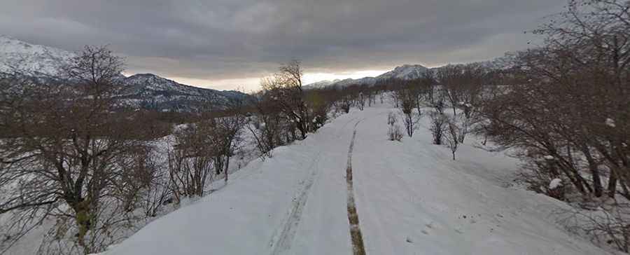
The track is not plowed in winter, making snow closures inevitable from late autumn through spring. Summer rains make the unpaved surface muddy and slick, requiring extra caution on the narrow cliffside sections.