How to drive the remote road to Kosh-Moynok Pass in the Alay District
Pereval Kosh-Moynok is a high mountain pass at an elevation of 3,273m (10,738ft) above sea level, located in the Alay District of Kyrgyzstan.
Where is Kosh-Moynok Pass located?
The pass is situated in the Osh Region, in the southern part of Kyrgyzstan. The road through the pass connects the villages of Sogondu and Karagur.
Is a 4x4 required to drive to Kosh-Bel?
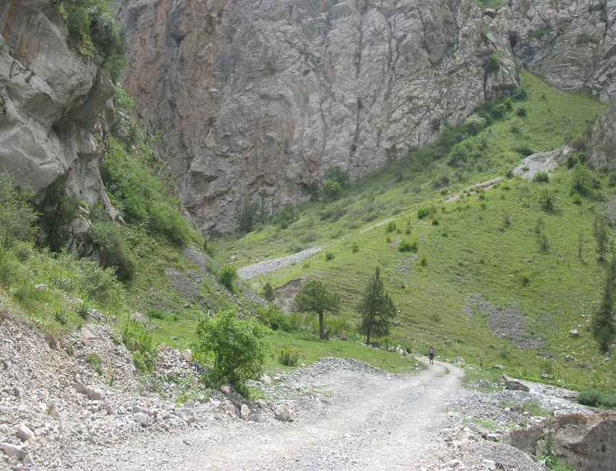
A high-clearance 4x4 vehicle is required to drive this road. The roadbed is frequently washed out by glacial melt. Several sections follow the course of riverbeds where the central ridge is high and sharp, posing a risk of puncturing a fuel tank or damaging the undercarriage.
How long is the road to Kosh-Moynok?
The unpaved road crosses the Alay Range, often climbing even higher to reach the Kosh-Bel Pass at 3,577m (11,735ft) above sea level. This 76-kilometer road comprises loose gravel, large stones, and riverbeds.
Is the road to Kosh-Moynok open in winter?
Set high in the Alay Range, the pass is completely impassable from late October until late June due to heavy snow and ice. Even in the summer, sudden rainstorms or blizzards can turn the dusty track into a slippery mud trap in minutes. The high-altitude environment means that water can freeze on the track overnight, even in July.
How remote is the road to Kosh-Moynok?
The isolation is total. There is no mobile coverage, no gas stations, and no repair shops for the entire road. You are unlikely to encounter any other vehicles for hours, and the only residents in the area are nomadic shepherds during the summer months. Self-sufficiency is mandatory; you must carry enough food, water, and auxiliary fuel for double the distance.
Road suggested by: Hugh Wilson
Pic: Igor Goncharov