How to drive the steep mountain road to Donguz Pass in Naryn Region?
At an elevation of 3,348m (10,984ft) above sea level, Pereval Donguz (Donguz Pass) is a high-altitude mountain crossing in the Naryn Region of Kyrgyzstan. Located in the heart of the Tian Shan Mountains, this pass offers a grueling technical drive through one of the most rugged and isolated landscapes in Central Asia.
| Road facts: Donguz Pass (Pereval Donguz) | |
|---|---|
| Location | Naryn Region, Kyrgyzstan |
| Elevation | 3,348 m (10,984 ft) |
| Distance | 9.4 km (5.9 miles) |
| Avg Gradient | 7.39% |
| Surface | Unpaved / Loose Dirt |
Where is Donguz Pass located?
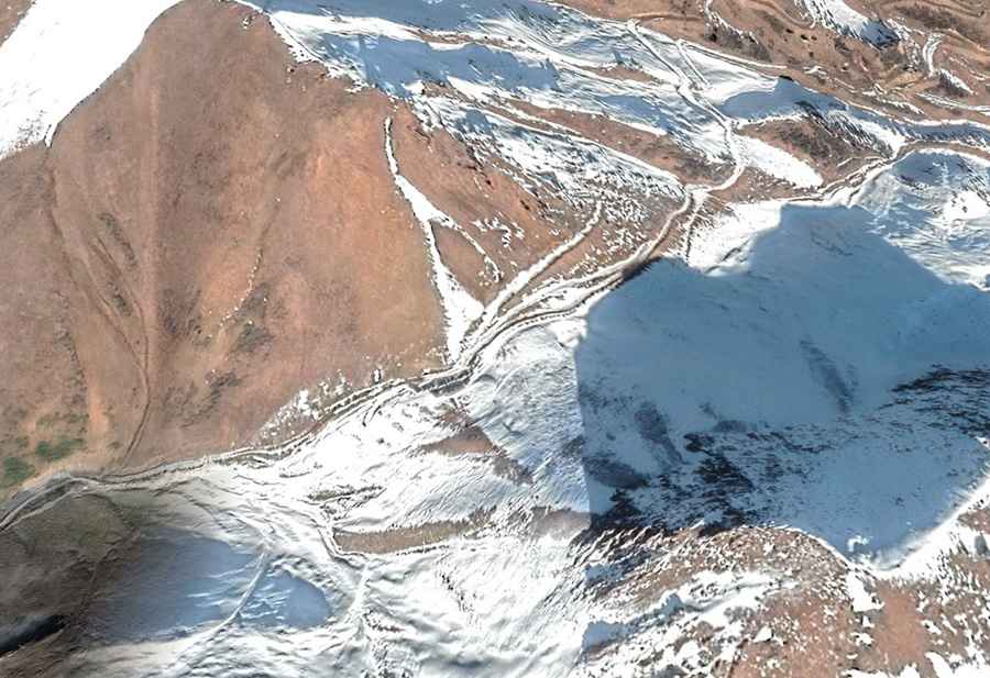
The pass is situated in the Jumgal district, positioned strategically between the Moldo Too and Kabak Too mountain ranges. It lies in the Karakeche River valley, just south of the better-known Kara-Keche Pass. This area is famous for its massive open-pit coal mines, meaning the lower sections of the road are often covered in thick coal dust and shared with heavy industrial trucks before the track narrows into the steep ascent toward the summit.
Is the road to Donguz Pass unpaved?
The road through Donguz Pass is totally unpaved and consists of loose dirt, gravel, and large stones. It is a primitive mountain track that includes extremely narrow passages with significant exposure. The ascent features very steep sections where traction can be an issue, especially after rain or when the soil is dry and powdery. A high-clearance 4x4 vehicle is strictly required. This is a very remote drive with no facilities, so drivers must be experienced in high-mountain off-road recovery.
How long is the road to Donguz Pass?
Starting from the mining area of Karakeche, the climb to the summit is 9.4 km (5.9 miles) long. Over this distance, the road tackles an elevation gain of 695m (2,283ft). While the average gradient is 7.39%, several ramps are considerably steeper, demanding constant use of low-range gears. The descent on either side is equally technical, requiring careful engine braking to manage speed on the loose surface.
Is the road to Donguz Pass open in winter?
Due to its altitude of over 3,300 meters, the pass receives heavy snowfall that blocks the route for most of the year. The road is generally inaccessible between October and March, and even in late spring, large snowdrifts can remain in shaded corners. During the summer months, the main risk shifts to unpredictable mountain storms that can turn the dirt track into a slippery mud trap within minutes. Always check the weather forecast in Chaek before heading into the pass.
What are the main hazards when driving Pereval Donguz?
Isolation is the primary hazard; there is zero mobile coverage and no assistance available if you suffer a mechanical failure. The high altitude also means that vehicle engines will lose significant power, and drivers may experience symptoms of altitude sickness. Additionally, the road is used by local shepherds moving livestock, so be prepared to encounter large herds of sheep or horses in narrow sections where passing is impossible. Always carry a full-size spare tire, extra fuel, and enough supplies for at least 24 hours of emergency camping.
Road suggested by: Hugh Wilson