Pereval Kara-Kul’dzha: Driving a wild 4x4 track on the Kyrgyzstan Mountains
Pereval Kara-Kul’dzha is a high mountain pass at an elevation of 3,166m (10,387ft) above sea level, located in northwestern Kyrgyzstan. The pass sits on the border of the Talas and Jalal-Abad regions, near the source of the Chatkal River and within the Sary-Chelek Biosphere Reserve.
The road to the summit is a primitive mountain track. It is strictly for high-clearance 4x4 vehicles and drivers who can handle remote, unpaved terrain. This is not a maintained highway, but a rough trail where mechanical self-sufficiency is mandatory.
| Road facts: Pereval Kara-Kul’dzha | |
|---|---|
| Elevation | 3,166m (10,387ft) |
| Location | Bashky-Terek to Chatkal Valley |
| Length | ~60 km (38 miles) |
| Surface | Unpaved / Deep Potholes / Scree |
How is the drive to Pereval Kara-Kul’dzha?
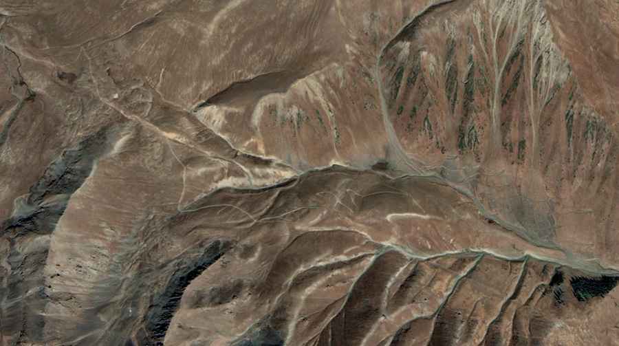
Starting from Bashky-Terek, the road is approximately 60 km long and completely unpaved. The track is narrow, has deep potholes, and features sharp hairpin turns on steep slopes. The surface is made of loose dirt and stones. If it rains, the mud makes the climb much more difficult. You will need a 4x4 with low-range gearing to manage the steeper sections safely.
Is the road to Pereval Kara-Kul’dzha dangerous?
Yes. The pass is in a very remote area between the Chatkal and Talas Ala-Too ranges. There are dangerous drops without any guardrails. Landslides and rockfalls are common and can block the path at any time. Because there are no services nearby, solo travel is a bad idea. If you have a mechanical breakdown, you are far from any help.
What should you expect at the Kara-Kul’dzha summit?
At 3,166m, the weather changes quickly. Even in summer, you can find cold winds and sudden storms. The track feels more like a mountain trail than a formal road. It’s a destination for drivers who want to get away from civilization and test their vehicle on a raw, unpaved mountain route.
Road suggested by: Hugh Wilson