Can you drive to Askaly-Bell Pass in Kyrgyzstan by car?
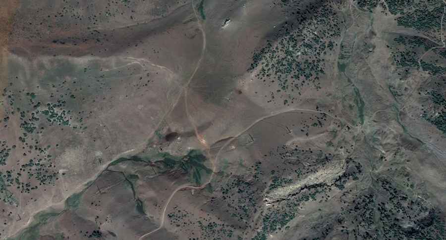
Pereval Askala-Bel’ is a high mountain pass at an elevation of 2,824m (9,265ft) above sea level, located in the Alay District of Kyrgyzstan.
Where is Askaly-Bell Pass?
The pass is located in the rugged Osh Region, in the southwestern part of the country, near the Chinese border.
| Road facts: Askaly-Bell Pass | |
|---|---|
| Location | Osh Region, Alay District (Kyrgyzstan) |
| Elevation | 2,824m (9,265ft) |
| Length | 12 km (7.45 miles) |
| Vehicle Required | High-clearance 4x4 |
| Surface | Unpaved / Gravel |
Is Askaly-Bell Pass unpaved?
The road to the summit is entirely unpaved and presents a significant challenge even for experienced drivers. It is a slow, bumpy journey with countless hairpin turns and very narrow sections where the edge of the track drops off steeply. A high-clearance 4x4 vehicle is required.
How long is the road to Askaly-Bell Pass?
The road through the pass is 12 km (7.45 miles) long, running in a south-north direction from the small settlement of Askaly to the area of Chong Bulolu.
Is the road to Askaly-Bell Pass open in winters?
Set high in the Pamir-Alay mountains, the surface is often washed out by heavy rains or melting snow. During the winter months, the pass is completely buried and remains impassable until the late spring sun clears the route.
Road suggested by: Hugh Wilson
Pic: Kyrgyzstan Mountain Track