Kosh-Moynok Pass: Driving the 76km Remote Track in the Alay District
Reaching an elevation of 3,273m (10,738ft) above sea level, Pereval Kosh-Moynok is a high mountain pass located in the Alay District of the Osh Region, Kyrgyzstan. This remote track serves as a technical corridor through the Alay Range, connecting isolated valleys in the southwestern part of the country.
| Road facts: Kosh-Moynok Pass | |
|---|---|
| Location | Osh Region, Kyrgyzstan |
| Elevation | 3,273 m (10,738 ft) |
| Secondary Pass | Kosh-Bel Pass (3,577 m) |
| Length | 76 km (47.2 miles) |
| Surface | Unpaved / Gravel and Rock |
How long is the road through Kosh-Moynok Pass?
The road spans 76 km (47.2 miles), running east-west from Sogondu to Karagur. This is a long-distance off-road expedition that requires several hours of sustained low-speed driving. In addition to Kosh-Moynok, the track also climbs Kosh-Bel Pass, which reaches a higher elevation of 3,577m (11,735ft). The cumulative elevation gain and the constant maneuvering through hairpin turns make this one of the most demanding traverses in the Osh Region.
Is the road to Kosh-Moynok Pass unpaved?
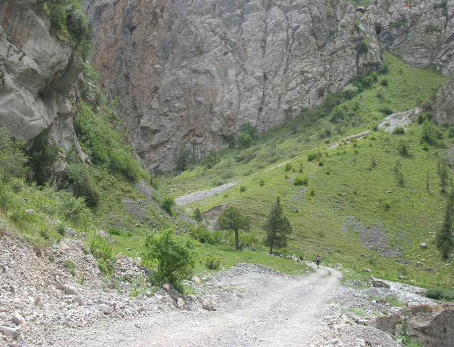
The entire 76 km route is strictly unpaved, consisting of loose gravel, large stones, and river-bed sections. The road is frequently washed out due to seasonal flooding and glacial melt, requiring drivers to navigate bypasses or clear debris from the track. High-clearance 4x4 vehicles are mandatory, as the central ridge of the track is often high and rocky. Several segments are notably narrow, with steep drops and no safety barriers, making passing oncoming vehicles difficult.
What are the driving hazards in the Alay District?
The primary hazards are extreme isolation and unpredictable weather. At elevations above 3,500 meters, vehicle performance is reduced, and any mechanical failure can become a critical situation due to the lack of mobile coverage and emergency services. The road is completely impassable in winter and remains blocked by snow until late June. During the summer, sudden rainstorms can turn the dusty track into slippery mud in minutes. Drivers should carry extra fuel, survival gear, and at least two full-size spare tires, as the sharp rocks on the Kosh-Bel ascent are known for causing punctures.
Logistical considerations for the Sogondu-Karagur route
Before attempting the 76 km drive, ensure your vehicle’s 4WD system and cooling system are in optimal condition. The sustained climbs to Kosh-Bel Pass at 3,577m put immense pressure on the engine. Self-sufficiency is mandatory; there are no fuel stations or repair shops between Sogondu and Karagur. It is recommended to travel with a second vehicle for recovery support and to verify the status of the washouts in Sogondu before committing to the full crossing.
Road suggested by: Hugh Wilson
Pic: Igor Goncharov