Here's How To Have The Ultimate Road Trip To Pereval Taunmurun
Pereval Taunmurun is a high mountain pass at an elevation of 3.545m (11,630ft) above the sea level, located in the Osh Region of Kyrgyzstan.
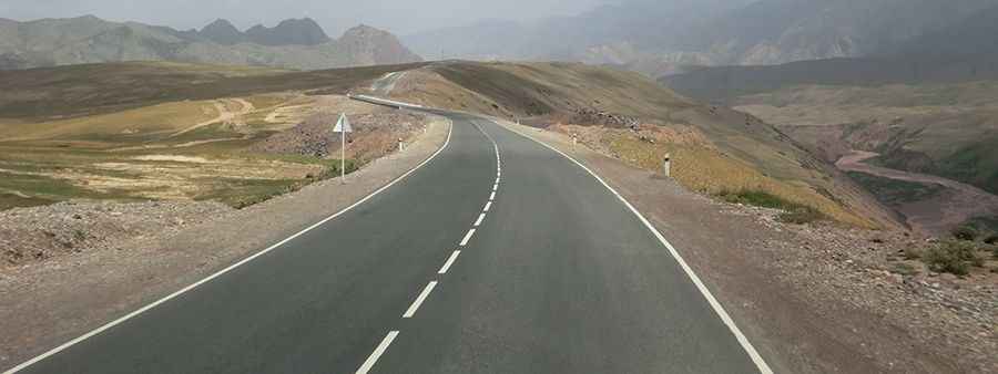
Set high in the Alay Mountains, the road to the summit is totally paved. It's called A371. The road is 72.7 km (45.17 miles) long, running east-west from Sary-Tash to the border with China at Irkeshtam Pass. Along the way, the road runs through the villages of Nura and Erkeshtam, also Irkeshtam or Erkech-Tam. The road was paved around 2007. It’s in good condition but virtually with no traffic. The landscape is desolate and wild. The pass is the highest point on the road.