Driving the historic Pamir Highway to Pereval Soroka
Nestled in the heart of Kyrgyzstan, Pereval Soroka soars to heights of 3,560m (11,679ft) above the sea, offering an intriguing traverse through the Osh Region.
What's the condition of the road leading to Pereval Soroka?
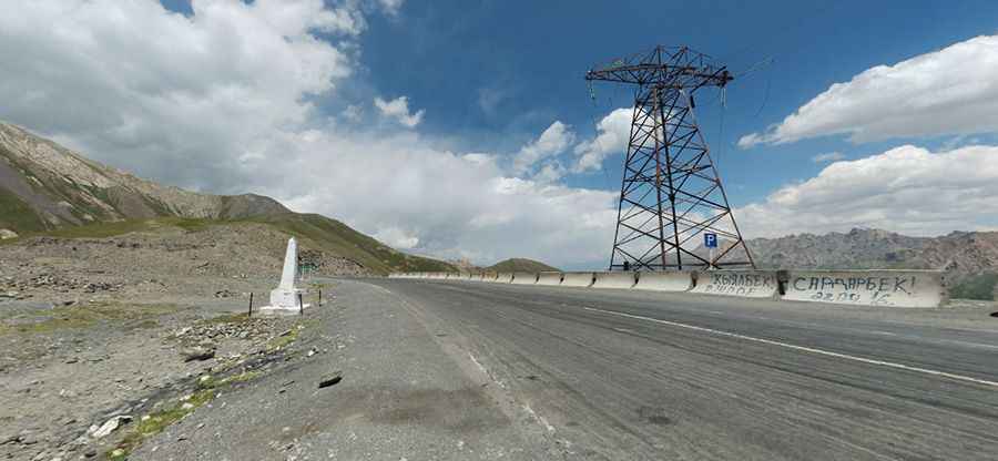
Situated in Kyrgyzstan's eastern terrains, the road to this summit, also known as Pereval Soroka Let Leninskogo Kommunisticheckogo Soyuza Molodezhi Kirgizii, is marked by the significant M41 highway (Pamir Highway), which is well-paved. Stretching for about 25km, this route connects Ak-Bosogo with Sary-Tash, presenting travelers with challenging sections, replete with hairpin bends. The concluding stretches are particularly demanding, posing inclines that near 8%.
Delving into the Historical Pathways of Pereval Soroka
Historical records highlight the original creation of Pereval Soroka as a crucial cart route in the late 19th century. This pathway facilitated communication to the Alay Valley, primarily for military endeavors led by notable Russian figures. Despite early challenges like obstructive rockfalls, by the 20th century, enhancements led by stalwarts like Colonel Grombchevsky transformed its landscape. Remarkably, this pass also saw the integration of the pivotal M41 highway during the early 1930s, under the meticulous supervision of Yuri M.Grushko. Fast forward to the 21st century, 2008 saw a significant road segment revitalization, funded by the Export–Import Bank of China, culminating in 2013.
Is Pereval Soroka Accessible Throughout the Year?
Perched amidst the towering Alai Mountain Range, Pereval Soroka is notorious for its treacherous conditions during the colder months. Annual records often note vehicular mishaps where trucks plunge deep into the adjoining ravines. Come spring, remnants of these unfortunate incidents are still visible. Yet, in a testament to its strategic importance, this pass largely remains accessible all year round, weather permitting.
Pic: Arek Pawłowski